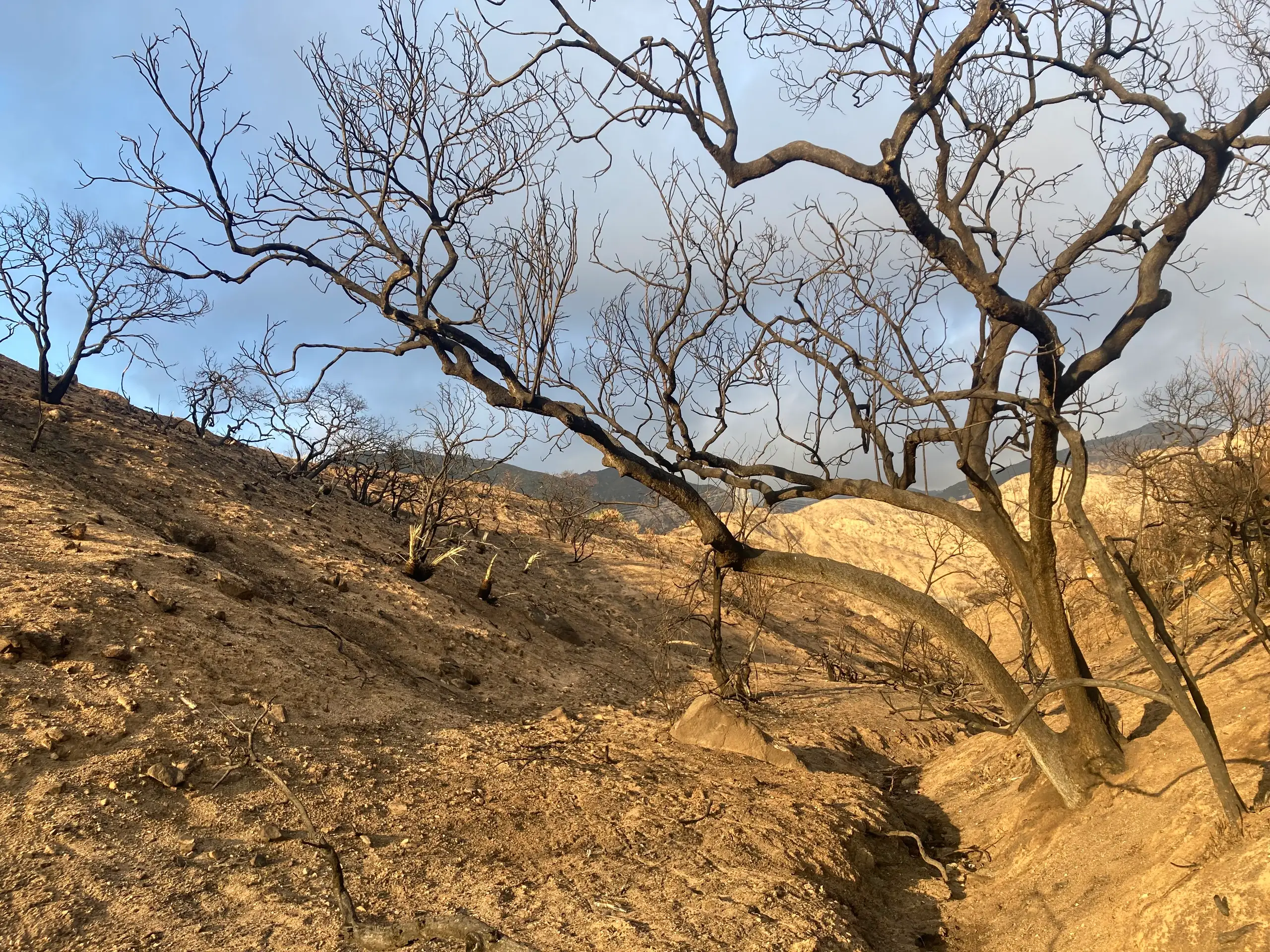
The National Weather Service issued a flood advisory for the Eaton Fire burn area until 5:45 a.m. Pacific on Friday, Nov. 13. Forecasters named northeast Pasadena, Altadena and Sierra Madre as places that could see flooding. They warned of water over roads and said shallow debris flows were underway or could begin soon in the advisory area.
Radar showed scattered heavy showers crossing the burn scar around 3:40 a.m. The weather service estimated rainfall rates of 0.5 to 0.7 inches per hour. Some locations may have received much of that rain in 20 to 30 minutes, forecasters said. Low-lying spots and areas with poor drainage are especially vulnerable.
Where to check before driving
The weather service advises drivers to turn around at flooded roads. Los Angeles County Public Works lists road restrictions, including a long-running restriction on part of Chaney Trail related to Eaton Fire damage. Check its current listings and obey barriers if you encounter a flooded road. The county’s emergency page links to official alerts and evacuation information.
The storm advisory is separate from standing Eaton Canyon trail closures. County parks says damaged trails in and around the canyon remain closed through at least Dec. 31, 2027. Burned slopes shed water quickly, and runoff can carry loose soil and debris downhill.