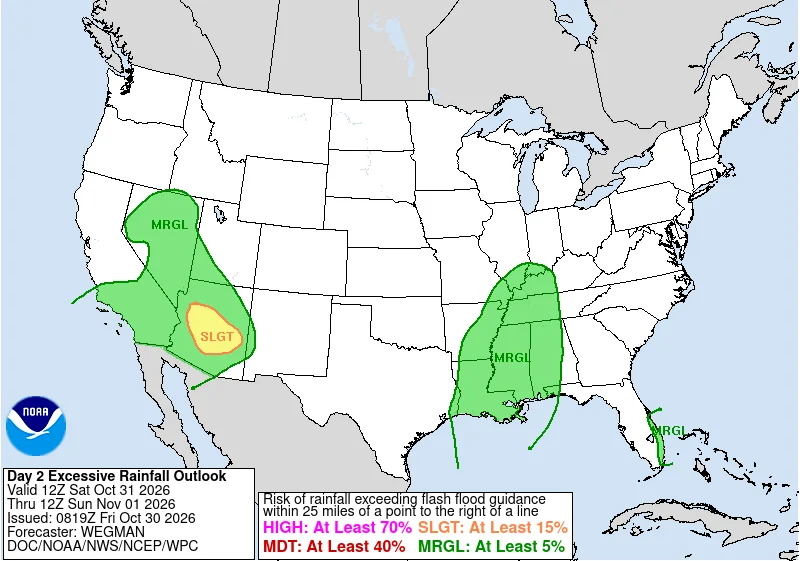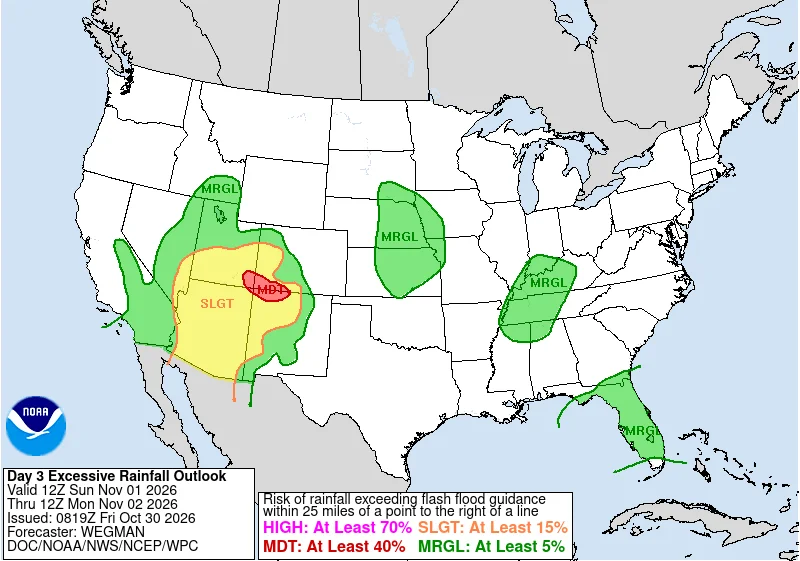
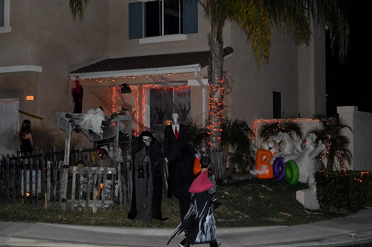
Most of the East should be dry and mild for trick-or-treating on Saturday, October 31, while rain is likely in Phoenix, Los Angeles and Miami, and the Sierra Nevada is expecting snow. The National Weather Service's Weather Prediction Center said Friday morning that the wet Pacific storm arriving in the Southwest late on Halloween is "all tricks and no treats."
The 5 to 7 p.m. forecast in 22 cities
The figures are the Weather Service's hourly forecasts as of Friday morning, in local time. Temperatures run from 5 p.m. to 7 p.m., and the percentage is the highest hourly chance of rain in that window.
The East and South:
- Boston: 54 to 48 degrees, clear, 0% chance of rain
- New York: 60 to 59, clear, 0%
- Philadelphia: 61 to 56, clouds moving in, 0%
- Washington: 62 to 57, mostly cloudy, 0%
- Atlanta: 72 to 70, mostly cloudy and breezy, 1%
- Miami: 82 to 80, showers and thunderstorms likely, 58%
- New Orleans: 79 to 75, showers and thunderstorms likely, 55%
- Houston: 80 to 76, chance of storms early, 41%
- Dallas: 76 to 74, partly cloudy, 8%
The Midwest and Plains:
- Chicago: 59 to 57, scattered showers, 25%
- Detroit: 60 to 56, cloudy, 3%
- Minneapolis: 55 to 54, slight chance of showers, 19%
- St. Louis: 71 to 68, chance of showers, 26%
- Kansas City: 67 to 64, cloudy, 20%
- Oklahoma City: 69 to 67, chance of showers, 34%
The West:
- Denver: 61 to 56, mostly clear, 9%
- Salt Lake City: 61 to 59, chance of light rain early, 25%
- Phoenix: 76 to 73, rain showers likely, 63%
- Las Vegas: 70 to 68, chance of showers, 50%
- Los Angeles: 65 to 64, light rain, 84%
- San Francisco: 61 to 57, slight chance of light rain, 20%
- Seattle: 51 to 48, mostly cloudy, 2%
Forecasts for Saturday evening will change, sometimes by a lot for places with scattered showers. The Weather Service's city forecast pages update several times a day, and checking again Saturday afternoon gives the best read.
Flood watches in the Southwest
Arizona has had a wet stretch, and the prediction center expects scattered flash flooding in central Arizona on Saturday before the heaviest rain shifts to the Four Corners on Sunday. The Weather Service offices in Phoenix, Tucson and Flagstaff have flood watches that begin at 11 p.m. Saturday and run until 5 a.m. Monday, covering metro Phoenix, the Tucson area and much of northern Arizona. Similar watches start Sunday morning for northwestern New Mexico, southwestern Colorado and southeastern Utah.
Do not drive through a flooded road or wash. The Weather Service says 12 inches of rushing water can carry away most cars, and 6 inches of fast-moving water can knock over an adult.
Snow in the Sierra and around Lake Tahoe
Winter weather advisories run from 8 a.m. Saturday to 8 a.m. Sunday for the Sierra Nevada above about 5,000 feet, including Interstate 80, Lake Tahoe, Mono County and Yosemite, Kings Canyon and Sequoia national parks outside Yosemite Valley. The prediction center says the highest peaks could see more than a foot of snow by late Sunday.
Storms in Florida and the Plains
On Saturday, showers and thunderstorms spread along a front from the Plains into the Lower Mississippi Valley, and storms with isolated flash flooding are possible along Florida's east coast on Sunday. Friday's flood watches in West Texas and southeastern New Mexico end by Friday evening.