
Arctic sea ice likely reached its 2026 minimum on September 12, the National Snow and Ice Data Center reported on September 23. Its dated release also described a likely Antarctic maximum two days later. Those are opposite points in the hemispheres' seasonal cycles.
| Region | Provisional seasonal extreme | Extent |
|---|---|---|
| Arctic | Minimum, September 12 | 4.60 million square kilometers |
| Antarctic | Maximum, September 14 | 17.59 million square kilometers |
The Arctic result tied 2008, 2010 and 2025 for the tenth-lowest minimum in the satellite record. NSIDC said the previous twenty years held the twenty lowest Arctic minimum extents in that record.
The Antarctic figure would be the third-lowest maximum if the proposed date held. The center stressed that Antarctic extent can fluctuate substantially near its seasonal maximum, making confirmation more difficult. The Arctic figure was also described as preliminary.
NASA's same-day account explained the different geography: Arctic sea ice is largely surrounded by land, while Antarctic ice can respond more freely to changing winds and weather. It kept the Antarctic maximum subject to later confirmation.
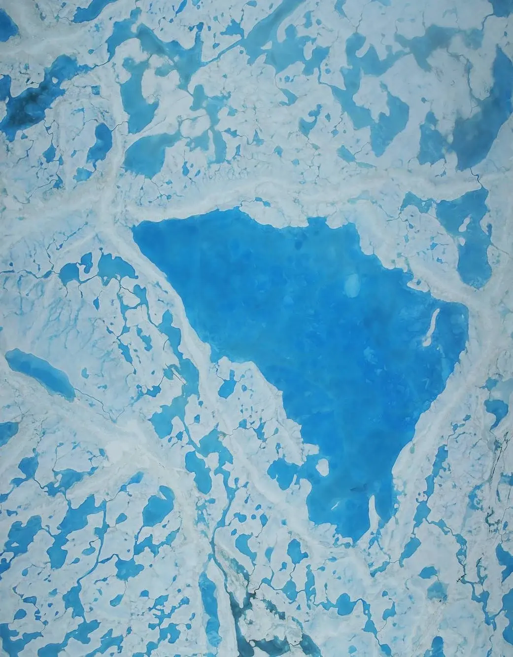
The Arctic minimum and Antarctic maximum describe different seasonal extremes, so their rankings are not directly comparable. The archival photograph here shows meltwater on Beaufort Sea ice in July 2016; it illustrates the surface being studied, rather than measuring either 2026 result.
NSIDC's measurement explanation defines extent using whole grid cells with at least 15% ice cover. It is different from adding only the ice-covered fraction of each cell, and it does not measure ice thickness.