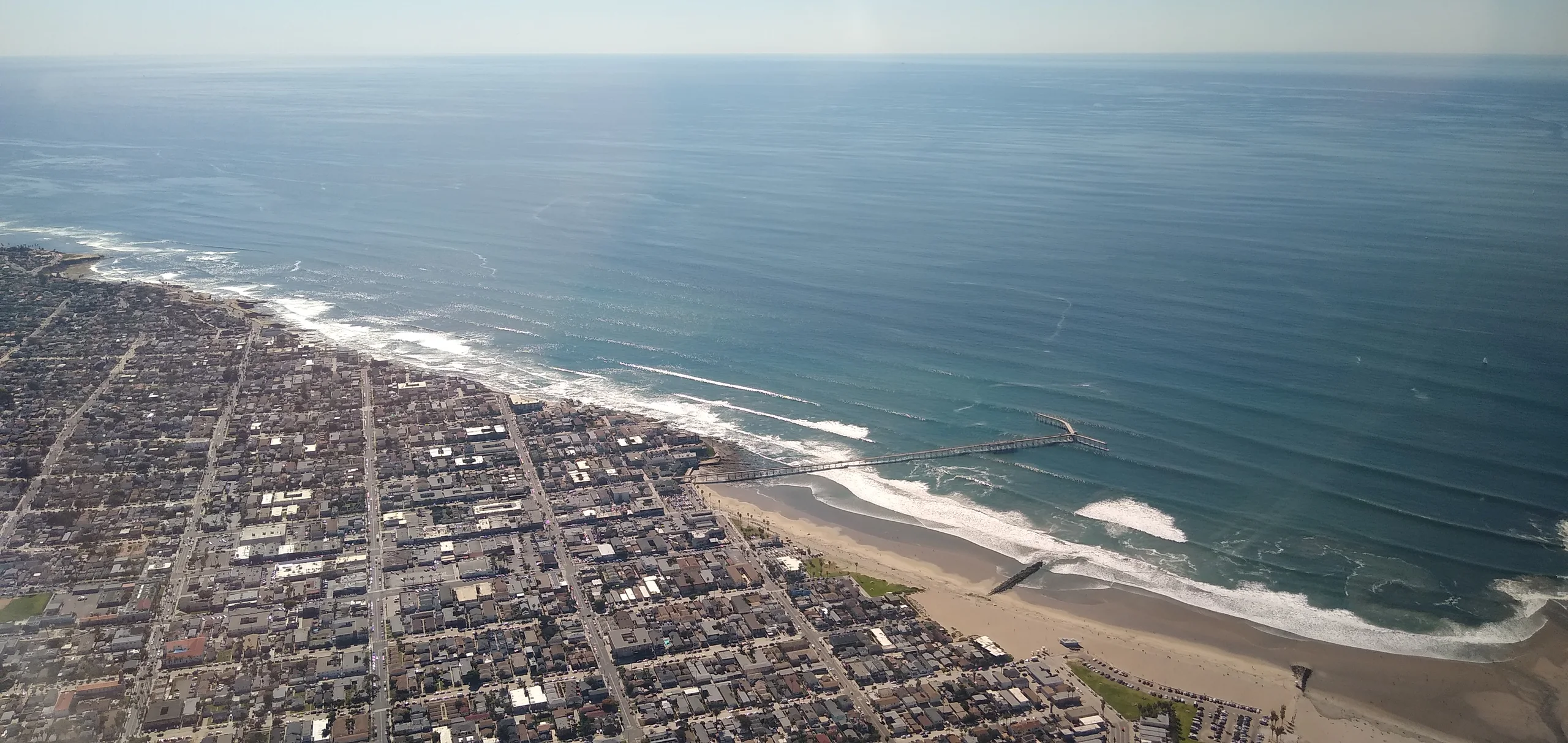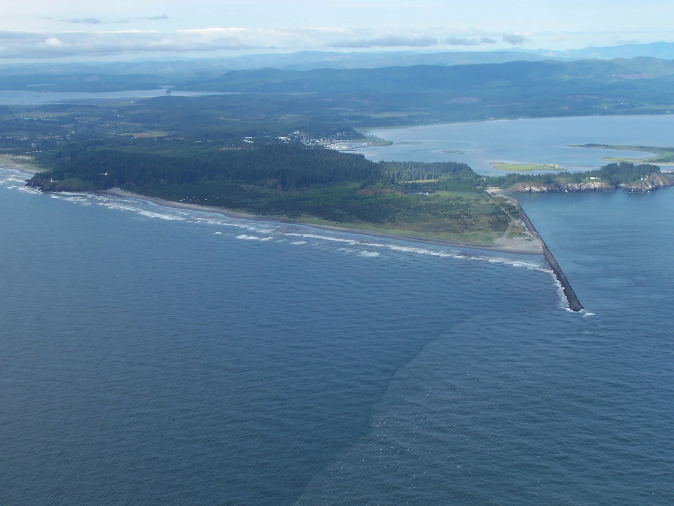
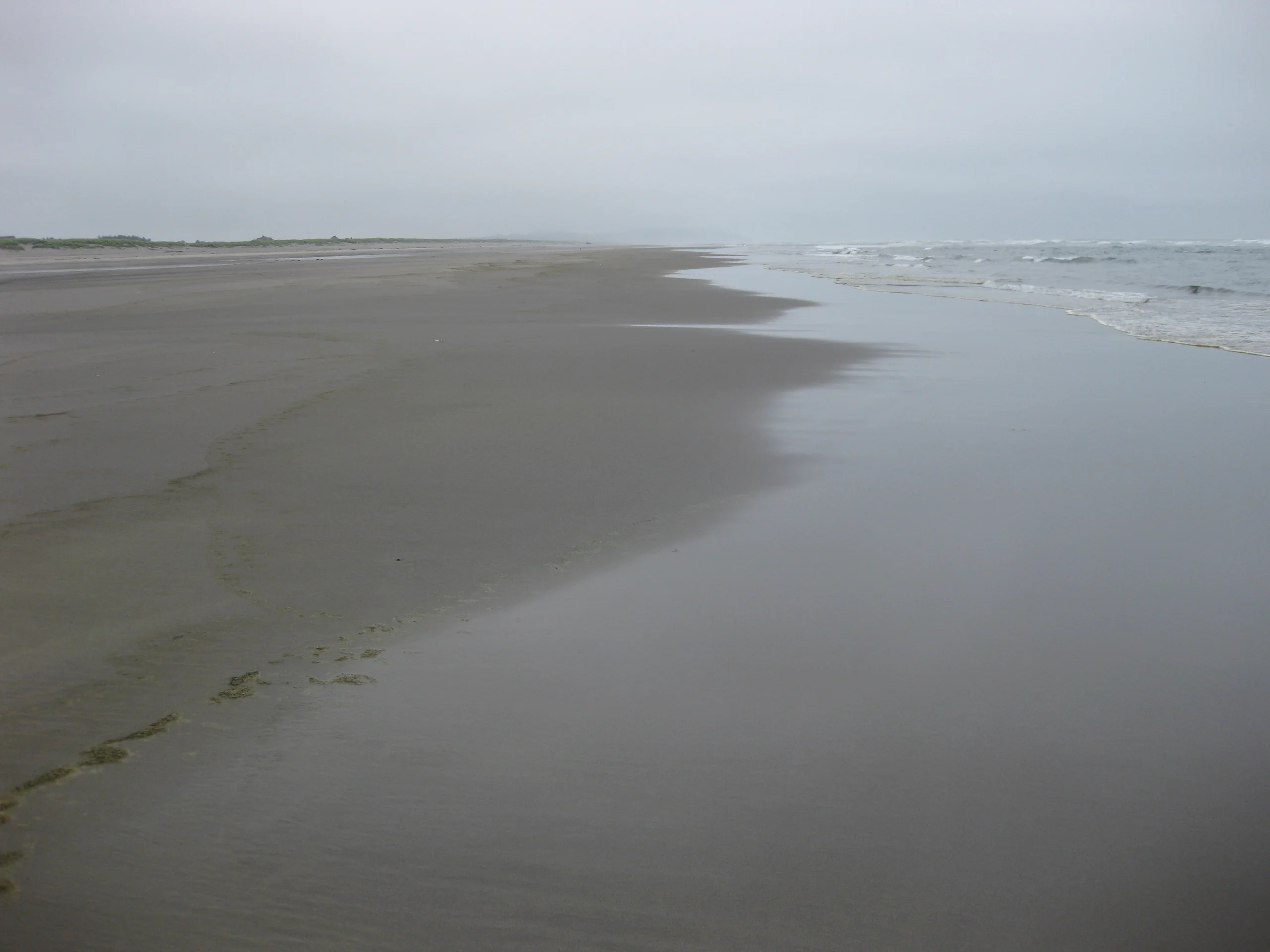
The National Weather Service upgraded its high surf advisory for Washington’s southern coast to a warning Friday afternoon. The warning covers the coast around Long Beach and remains in effect through noon Saturday, Pacific time. Forecasters expect breakers of 30 to 35 feet, with the greatest risk of sneaker waves Friday evening and overnight.
The weather service advises staying well back from the water and away from rocks, jetties and large beach logs. A sneaker wave can sweep across dry sand and pull people into cold water. Waves can also lift or roll logs that look settled on the beach. The warning applies to beach and shoreline conditions, including places where waves can run farther inland than usual.
A separate coastal flood advisory covers the same stretch of coast until 4 p.m. Friday. Around high tide, water could reach up to a foot above ground in low spots near bays, sloughs and the lower reaches of coastal rivers. The weather service expects the tide gauge at Toke Point to reach 11.2 feet. That is a gauge reading, separate from the forecast depth of flooding on land.
If you’re headed to the coast after the flood advisory ends, the high surf warning still runs through Saturday morning. Follow any local closures and keep clear of the shoreline even where the water looks calm between waves.