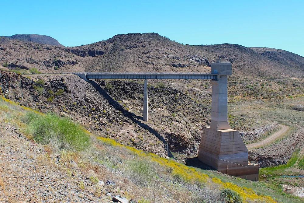
Drivers who use low-water crossings along the lower Gila River in southwestern Arizona should plan another route. The National Weather Service flood warning covers part of Maricopa County and northeastern Yuma County through 11 a.m. Arizona time Tuesday, Nov. 17. Water released from Painted Rock Dam is expected to inundate some crossings and nearby farmland.
The Weather Service said Wednesday that the releases were continuing and expected to increase over the next couple of days, peaking at 3,000 cubic feet per second. The warning covers low-lying areas along the river downstream from the dam, including the stretch toward Dateland. The U.S. Army Corps of Engineers posts reservoir and discharge readings for Painted Rock Dam, which sits northwest of Gila Bend.
What drivers should check
Check Arizona 511 for state-road conditions and county road notices for local crossings. The Weather Service warns that some low-water crossings may become impassable. If water covers the road, turn around. A crossing that was passable earlier can become unsafe as the release increases.
The warning's Tuesday expiration is the current forecast deadline. It does not give a reopening time for individual roads. Check the route before leaving and use a posted detour where one is available.