A low expected to form near the northern Bahamas could bring strong winds, dangerous surf and coastal flooding to parts of the Southeast and mid-Atlantic coasts this weekend and into early next week. Thursday's forecasts put the clearest risks over the water, with rainfall on land still depending heavily on the storm's track.
The National Hurricane Center's 7 a.m. Eastern November 19 outlook gives the system a 60% chance of tropical or subtropical development within seven days and a 20% chance within 48 hours. The low is expected to form on Friday, then move north or northeast near or offshore of the Southeast coast.
What the 60% chance means
The percentage describes the chance of storm formation during the forecast period. It does not give the probability of flooding at a particular beach or the chance of landfall. The NHC's guide to its outlook graphics explains that the shaded areas show where formation could occur.
Forecasters expect coastal hazards even if the low never acquires tropical or subtropical characteristics. That gives residents and boaters a reason to follow the local wind, surf and tidal forecasts alongside the formation outlook.
The weekend forecast covers Saturday, November 21, and Sunday, November 22. The low had not yet formed when the overnight forecasts were issued, leaving considerable uncertainty about its eventual path and strength.
Southern coast: an offshore track is favored
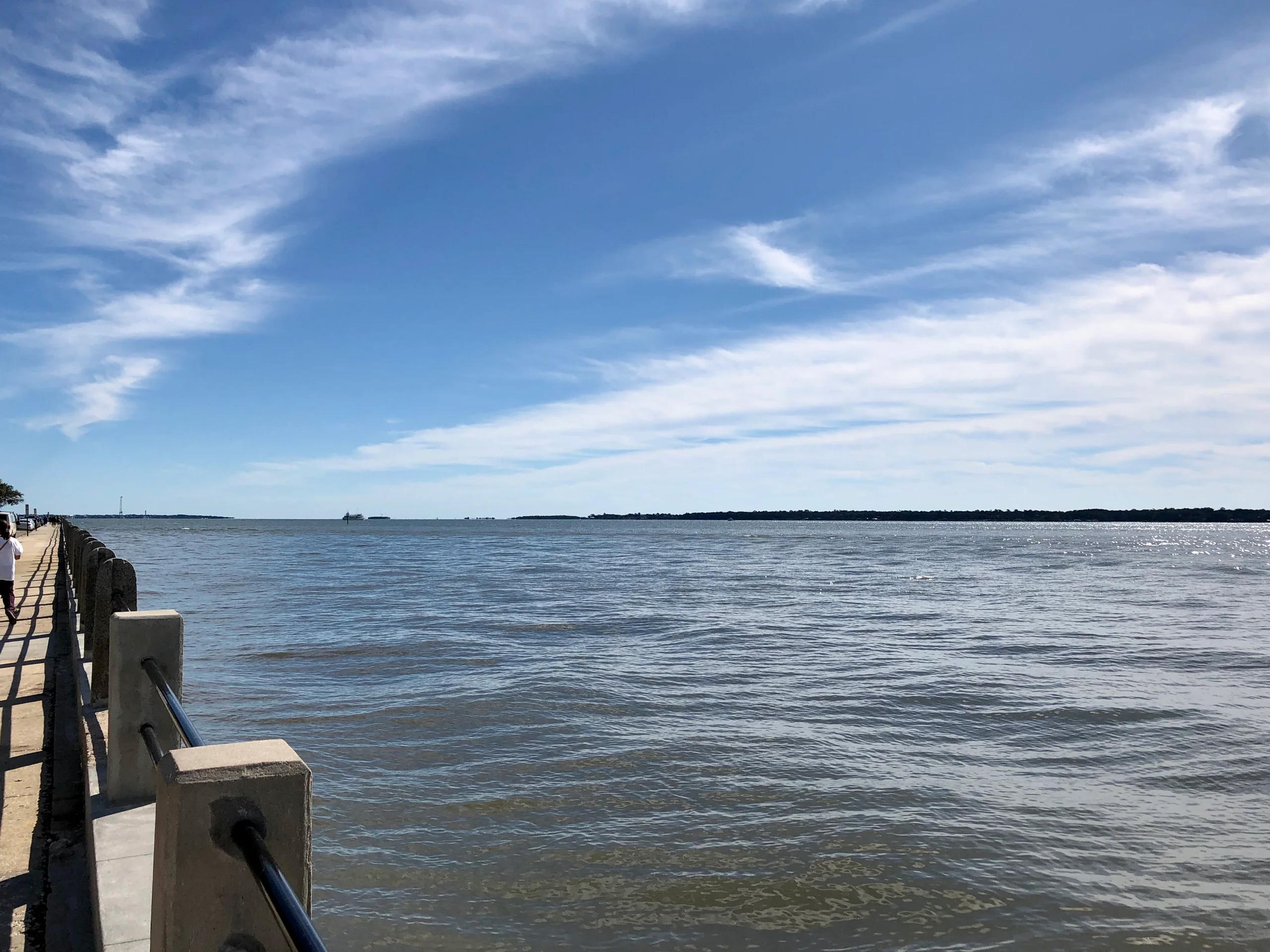
The Charleston weather office's Thursday discussion says an offshore track is becoming more likely for Georgia and South Carolina. In that scenario, the heaviest rain stays over the Atlantic, showers remain limited near the coast and inland areas stay dry.
A closer track remains a less likely, more disruptive possibility. Charleston's reasonable worst-case rainfall estimate, which it describes as a one-in-10 outcome, is about 2 inches near the immediate coast and 0.5 to 1 inch inland Saturday and Saturday night. Coastal gusts could approach or exceed 40 mph in that scenario.
Marine conditions are forecast to deteriorate Friday. The office says gale conditions are possible outside Charleston Harbor, with seas reaching about 9 feet within 20 nautical miles of shore and 10 to 15 feet farther offshore.
Cape Fear: rough seas, with rainfall less certain
The Wilmington weather office forecasts 25- to 30-knot winds and 7- to 10-foot seas Saturday and Sunday in its nearshore North Carolina and South Carolina coastal waters. Farther offshore, 35-knot winds and seas up to 15 feet are possible.
Its forecast still allows a wide range of tracks, from a Cape Fear landfall to a path hundreds of miles offshore. An average of forecast simulations keeps the low offshore, close enough for rain to reach coastal counties Saturday night and Sunday.
Wilmington lowered weekend rain chances inland of the Cape Fear region. It also slightly reduced the odds of at least an inch of rain. Beach erosion and minor tidal flooding remain concerns late Saturday night into Sunday.
Outer Banks and tides into next week
The Newport/Morehead City weather office has high confidence that a low will develop to the south, but low confidence in its structure, strength, track and exact local effects. Much of its overnight guidance placed the low's center between the North Carolina-Virginia border and about 40 miles offshore of Cape Hatteras. It expects additional observations and shorter-range forecasts to clarify the possibilities over the next 24 to 36 hours.
A higher astronomical tide cycle begins in the second half of the weekend and peaks around the middle of next week. Forecasters said this cycle is slightly stronger than the one in late October. Its effect along eastern North Carolina will depend partly on the eventual winds and storm track.
Farther south, Charleston forecasters say Saturday morning's high tide could approach minor flooding levels. Sunday morning and subsequent morning high tides into early next week could bring several rounds of mainly minor coastal flooding along South Carolina's coast.