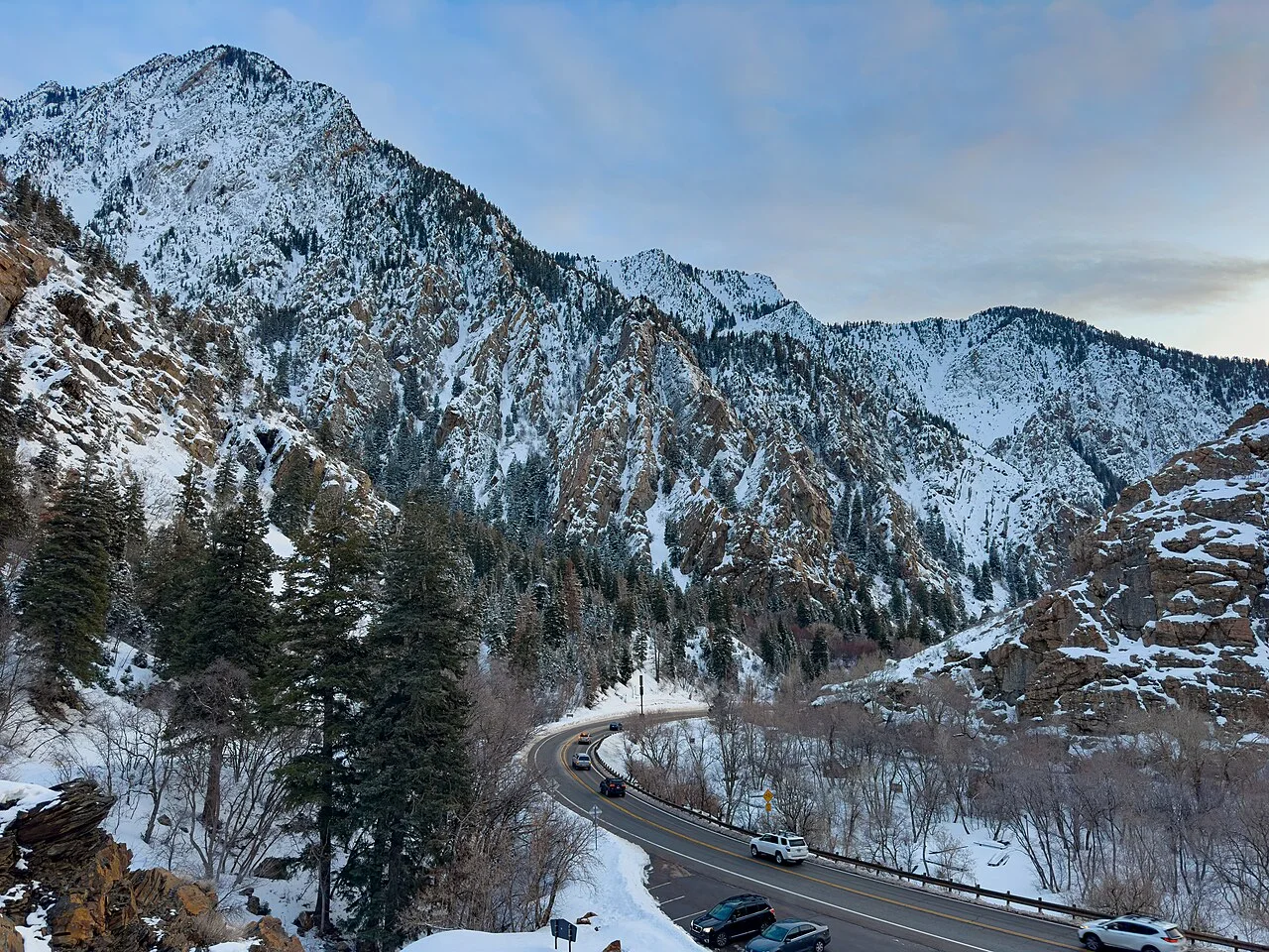
The National Weather Service upgraded Utah’s Wasatch Mountains to a winter storm warning Thursday, with 12 to 24 inches of snow expected through 11 a.m. Mountain Time Saturday, November 21.
The 9:33 a.m. Mountain bulletin covers mountain zones north and south of Interstate 80, including Logan Summit, Mantua, Alta and Brighton. The highest totals are forecast in the upper Cottonwoods and mountains near the Utah-Idaho border. These are storm totals, not measured snowfall.
Where the warning applies
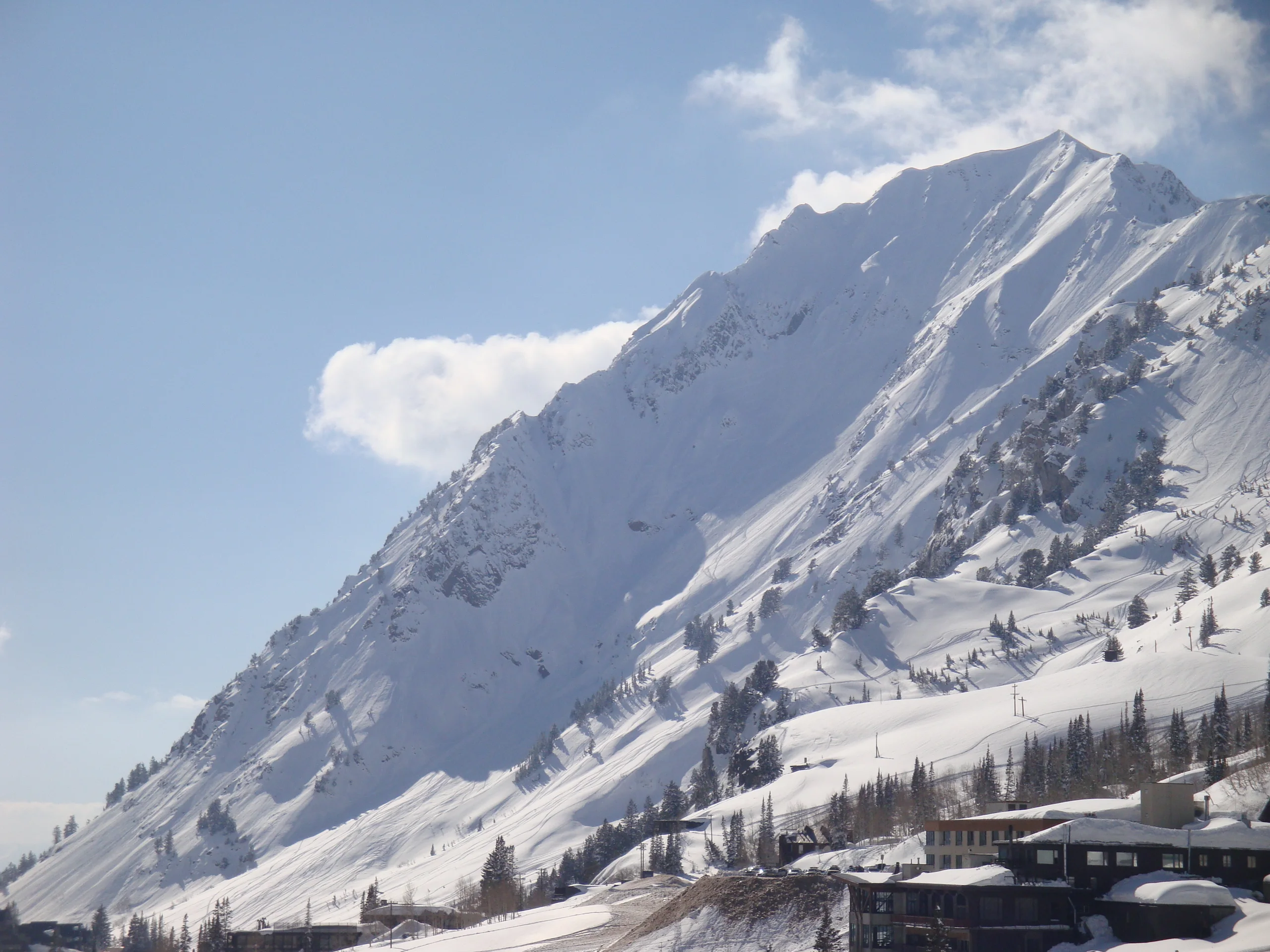
The warning replaces an earlier advisory for the mountain zones. NWS expects slick, hazardous roads, particularly bridges and overpasses, and urges people to delay travel if possible.
A separate Wasatch Back advisory covers Park City, Huntsville and Heber City until 5 a.m. Mountain Saturday. It forecasts 4 to 8 inches in the Park City area and Ogden Valley, with less in lower terrain near Heber City. Thursday evening and Friday morning commutes could be affected.
Before driving into the canyons
Check UDOT’s current road conditions before departure. Its traffic website and app carry camera views and reports updated by the Traffic Operations Center.
UDOT distinguishes two Cottonwood Canyon traction alerts. "Be Traction Law Ready" requires qualifying tires or approved traction devices ahead of a storm; "Traction Devices Required" means devices must be installed when the vehicle needs them to comply. Check the current route alert and your vehicle’s equipment before entering.
For necessary travel, NWS advises carrying a flashlight, food and water, allowing extra time and leaving more space between vehicles.