
Central and southern Los Angeles County face a new severe thunderstorm warning until 9:45 a.m. Pacific Thursday, November 19. The warning includes downtown Los Angeles, Long Beach, Hollywood, Burbank and Santa Monica. It follows the earlier warning that was scheduled to end at 8:45 a.m.
The National Weather Service's Los Angeles/Oxnard office warns of 60 mph wind gusts, possible damage to roofs, siding and trees, and a small chance of a brief, weak tornado. It directs people to stay indoors, away from windows, and seek shelter in an interior room on the lowest floor of a well-built structure. The warning does not report a confirmed tornado.
Flash flooding and road hazards
An 8:30 a.m. flash-flood statement covers central and southern Los Angeles County until noon. Its location list includes downtown Los Angeles, Long Beach, Inglewood, the Eaton burn scar, Pasadena, Altadena, Alhambra, Torrance, Manhattan Beach, Hermosa Beach, Redondo Beach, Rancho Palos Verdes, Mount Wilson, Carson, Eagle Rock and Glendale. Forecasters warn of flash flooding and debris flows, with rainfall rates up to 1 inch in 30 minutes. That is an expected rate, not a measured total.
The Palisades burn-scar warning described in the earlier update remains listed through noon. A separate 8:18 a.m. statement continues a flash-flood warning for northwestern Los Angeles County through noon, including eastern Malibu and communities in the San Fernando Valley. Its current location list no longer names Simi Valley.
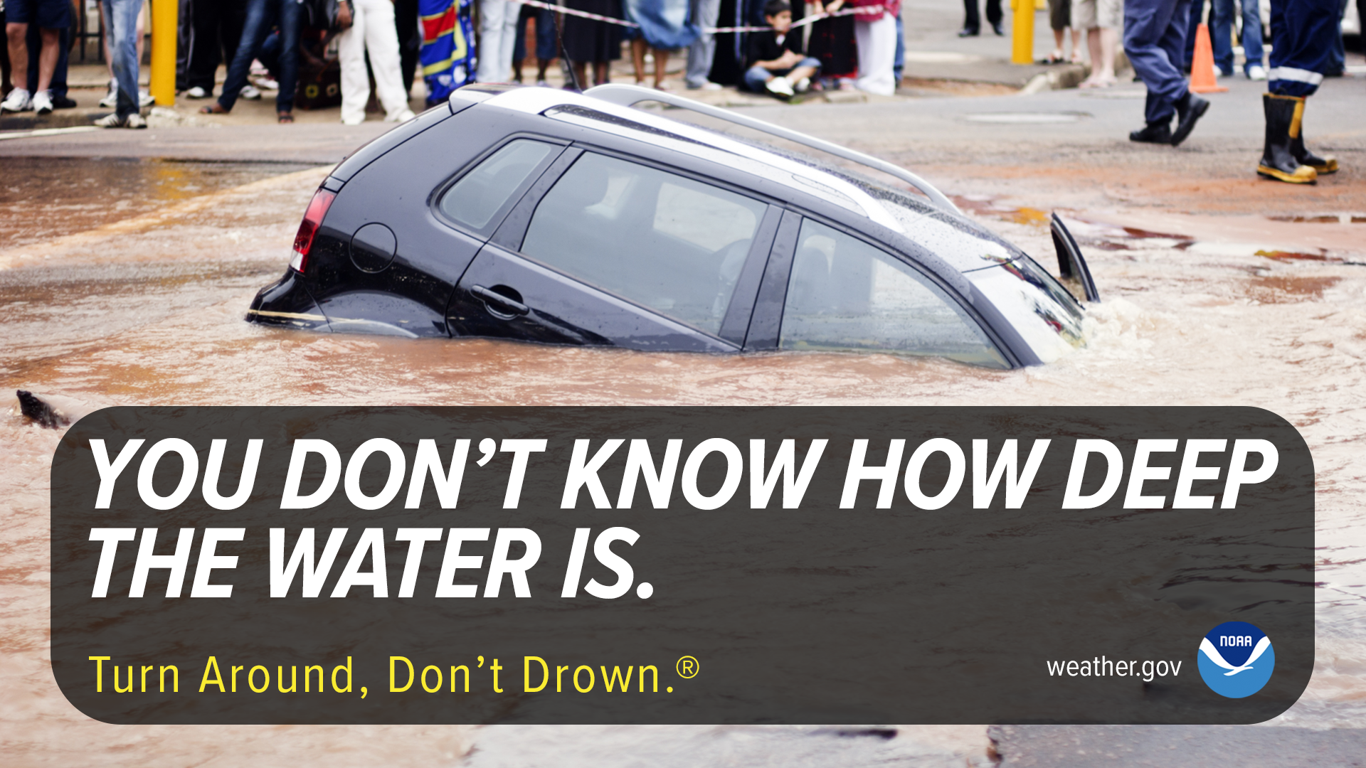
Never drive through floodwater. Follow instructions from emergency management and law enforcement. NWS flood-safety guidance also advises seeking higher ground when flash flooding occurs outdoors and avoiding floodwater on foot.
The city's burn-scar evacuation preparation notice covers a separate warning to be ready to leave.