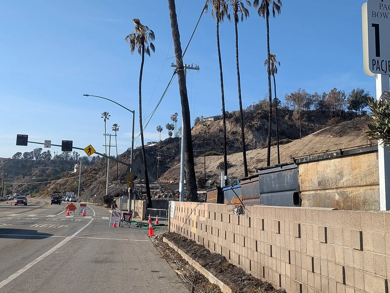
Los Angeles has put homes below the Palisades, Hurst and Sunset fire burn scars under an evacuation warning from 6 p.m. Wednesday, Nov. 18, until 8 a.m. Friday, as the season's first moderate storm moves into Southern California. The Los Angeles Fire Department's alert cites the risk of debris flows, and police officers will go door to door at the homes considered most at risk.
The warning tells residents to prepare for possible evacuations. It is not yet an order to leave.
Which neighborhoods are covered

The fire department lists 14 zones on an online evacuation map run by Genasys, where residents can look up their address:
| Area | Zones |
|---|---|
| Palisades | LFD-1081, 1083, 1085, 1087, 1089, 1091, 1092, 1093, 1095, 1096 and 1097 |
| Mandeville | 0891 |
| Hurst | 0001-B |
| Sunset | 0835 |
The Palisades Fire burned through Pacific Palisades and the Santa Monica Mountains in January 2025. Hillsides stripped of vegetation by fire shed water quickly, and heavy rain can send mud, rocks and burned debris rushing down canyons toward homes.
When the heaviest rain arrives
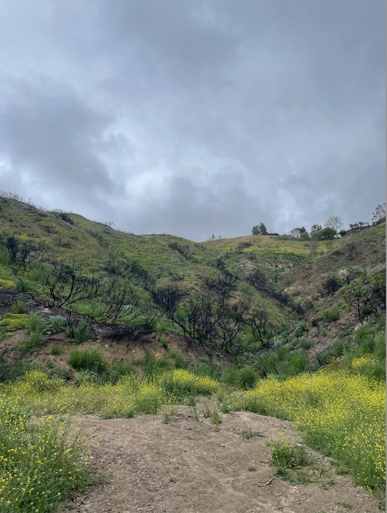
The National Weather Service in Los Angeles has a flood watch for Los Angeles County from Thursday morning through Thursday afternoon. It warns of flooded roads, heavy flows in creeks and canyons, rockslides, mudslides and debris flows in recent burn scars.
According to the weather service's forecast discussion, the cold front and its heaviest rain should reach Los Angeles County around midmorning Thursday, probably after the worst of the morning commute. Forecasters expect:
- Rain rates around half an inch an hour, rising to 0.75 to 1 inch an hour under thunderstorms and on south-facing slopes from Santa Barbara through Los Angeles counties.
- 1 to 2 inches of rain on the coast and in the valleys, locally 3 inches.
- 3 to 5 inches on coastal slopes and in the foothills.
- A very small chance of a weak tornado in the Los Angeles Basin on Thursday.
The storm was already dropping rain at just over an inch an hour in the San Francisco Bay Area on Wednesday morning, the discussion says. Snow levels will stay above 9,000 feet for most of the storm before briefly falling to about 7,000 feet, with 3 to 8 inches of snow possible at those elevations. Friday should be sunny, with gusty westerly winds.
Fire stations across the city hand out free, ready-to-fill sandbags year-round, the fire department says, with free sand at some stations. People who live near the burn scars can check whether their address falls inside a warning zone on the evacuation map.
Edit USA reported on Nov. 16 that forecasters expected this storm to bring a midweek flood risk from the Central Coast south.