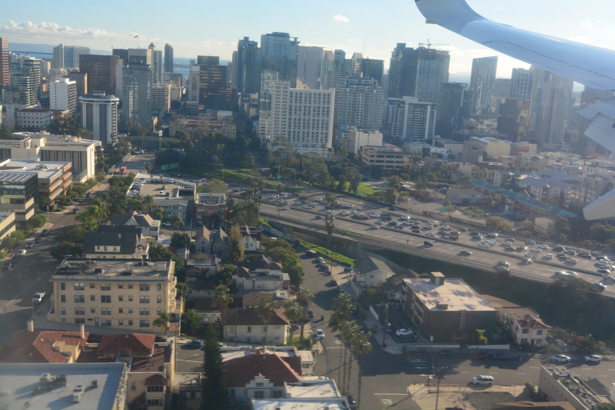
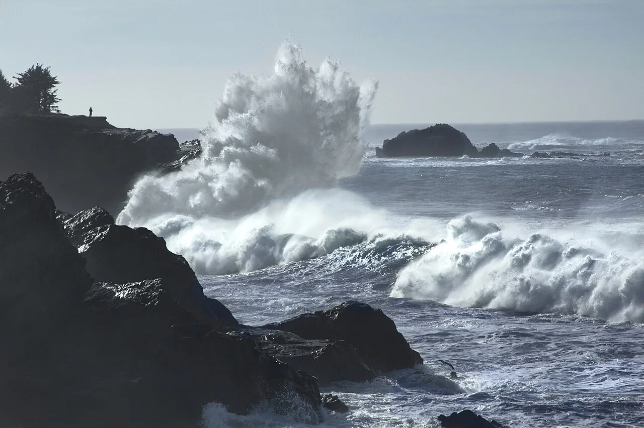
A second Pacific storm is forecast to reach the North Bay late Tuesday, Nov. 17, then move south across California through Thursday. Forecasters expect Wednesday to bring a risk of flash flooding to parts of the Central Coast. In Southern California, the heaviest rain could arrive Wednesday night, with debris flows possible near recent burn scars.
The National Weather Service’s Los Angeles and Oxnard office said in its 9:29 a.m. Monday forecast that much of its area could get 1 to 3 inches of rain. South- and southwest-facing slopes and foothills could get 2 to 5 inches. The office said a period of heavier rain lasting four to eight hours could begin Wednesday afternoon on the Central Coast and Wednesday night farther south. The timing could shift as the storm approaches.
When the rain moves south
In the North Bay, the Bay Area weather office expects rain to move in late Tuesday. It forecasts widespread rain and strong winds Wednesday, with showers and thunderstorms possible into Thursday. The Weather Prediction Center’s rainfall outlook puts parts of central coastal California in its slight-risk area for excessive rain Wednesday into early Thursday. A risk outlook identifies where flash flooding is possible. Local weather offices issue watches and warnings as conditions warrant.
The Los Angeles and Oxnard office says water could collect on streets and rise in normally dry riverbeds, especially if heavier bands linger. It also flagged the possibility of debris flows around recent burn scars. Those flows can carry mud and rock into areas downhill of a fire, including places where rain is less intense. Residents near a burn scar should check their county’s emergency notices for any orders that apply to their address.
The San Diego weather office expects the next round to arrive early Thursday in its area. Its preliminary estimates range from about half an inch around San Diego to an inch in Orange County and as much as 2.5 inches in the San Bernardino Mountains. It says snow levels could fall to around 6,500 feet, near Big Bear Lake’s elevation, with a few inches possible above 7,000 feet.
Check your route before leaving

The timing makes Tuesday an earlier travel window for some Southern California trips, while the North Bay could already see rain by Tuesday evening. Check Caltrans QuickMap for highway closures and chain controls before driving. If water covers a roadway, the National Weather Service advises turning around. For higher-elevation travel, see the earlier Central Sierra winter storm warning and check your route for current conditions.