A gale warning takes effect at 1 p.m. Tuesday, Nov. 17, off southern Oregon and far Northern California. The National Weather Service in Medford upgraded a watch Monday for waters from Florence, Oregon, to Point St. George, California, extending 60 nautical miles offshore. The warning runs until 4 a.m. Wednesday. All times are Pacific.
The weather service bulletin calls for south winds of 35 to 45 knots, gusts up to 50 knots and very steep seas of 14 to 17 feet. Forecasters say stronger gusts could briefly reach storm force Tuesday evening. They also expect reduced visibility and warn that the combination of wind and steep waves can damage or capsize vessels.
When conditions change

A hazardous seas warning remains in effect through 4 p.m. Monday, with seas of 13 to 18 feet from the existing swell. A small craft advisory then runs until Tuesday’s gale warning starts. Seas are forecast to ease between the two systems before building again Tuesday afternoon.
The weather service advises mariners to change their plans to avoid the gale and steep seas. Depending on where a vessel is, that can mean staying in port, seeking safe harbor or changing course. The warning covers both the nearshore waters and the stretch from 10 to 60 nautical miles out.
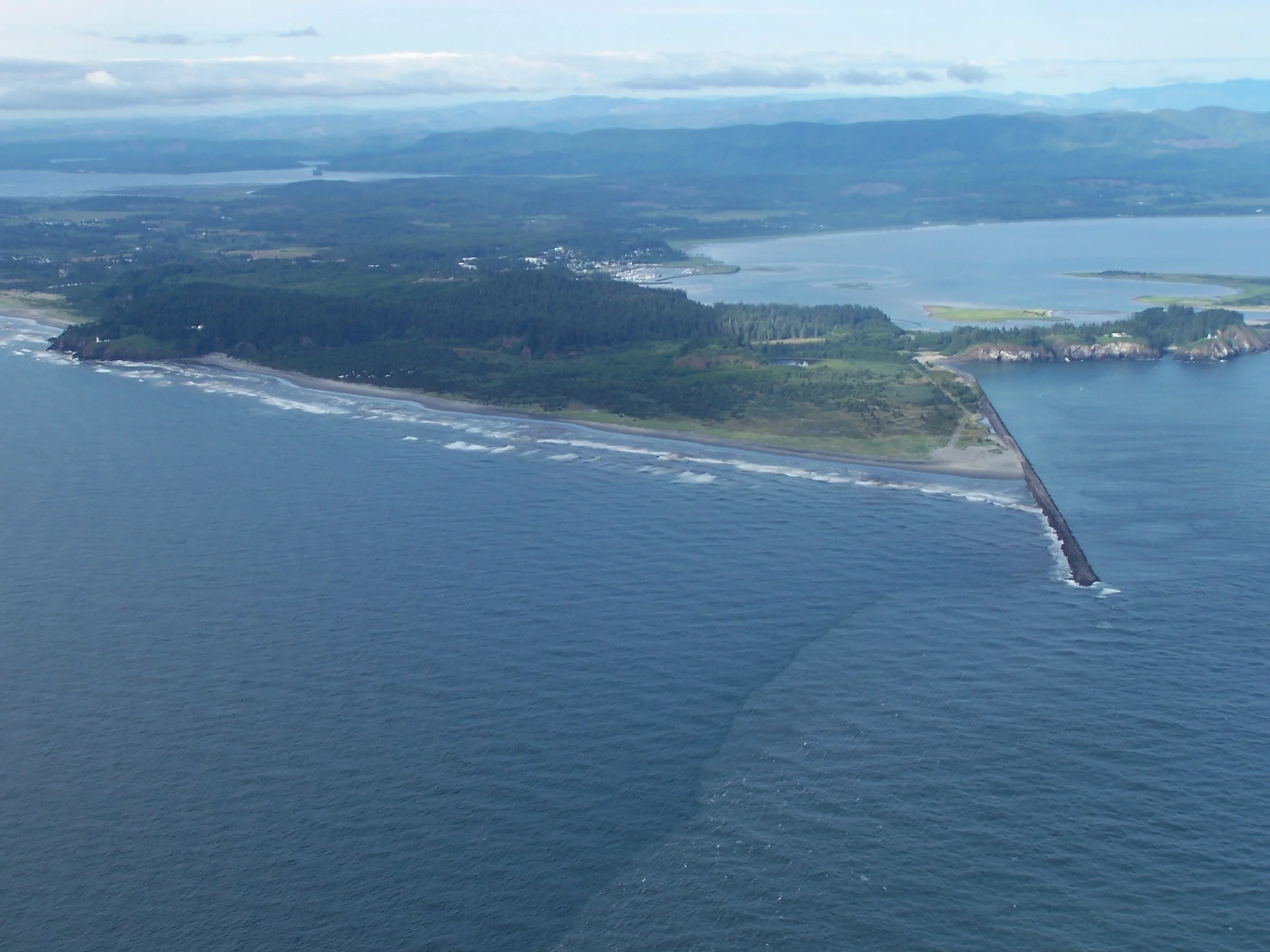
For boats leaving or entering Coos Bay, the Coast Guard’s bar-crossing guide explains that crews broadcast hazardous conditions and changes in crossing restrictions on marine VHF channel 16. Check the bar report before departure and again before returning if conditions have changed.