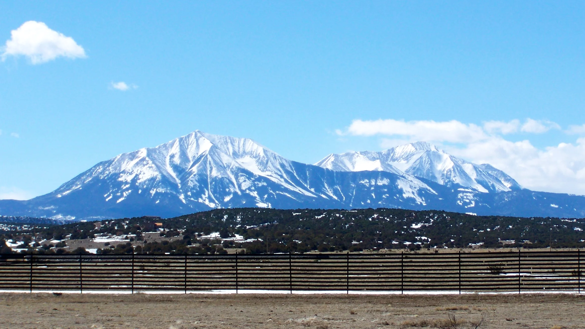
Damaging winds could make travel difficult along Interstate 25 in Huerfano County late Thursday night and Friday, with gusts reaching 65 mph on the highway corridor and 75 mph in the southern Sangre de Cristo Mountains.
The National Weather Service in Pueblo has a high wind warning in effect from 11 p.m. Thursday, Nov. 19, to 4 p.m. Friday, Nov. 20, Mountain Standard Time. Forecasters expect the strongest winds between 5 a.m. and 11 a.m. Friday.
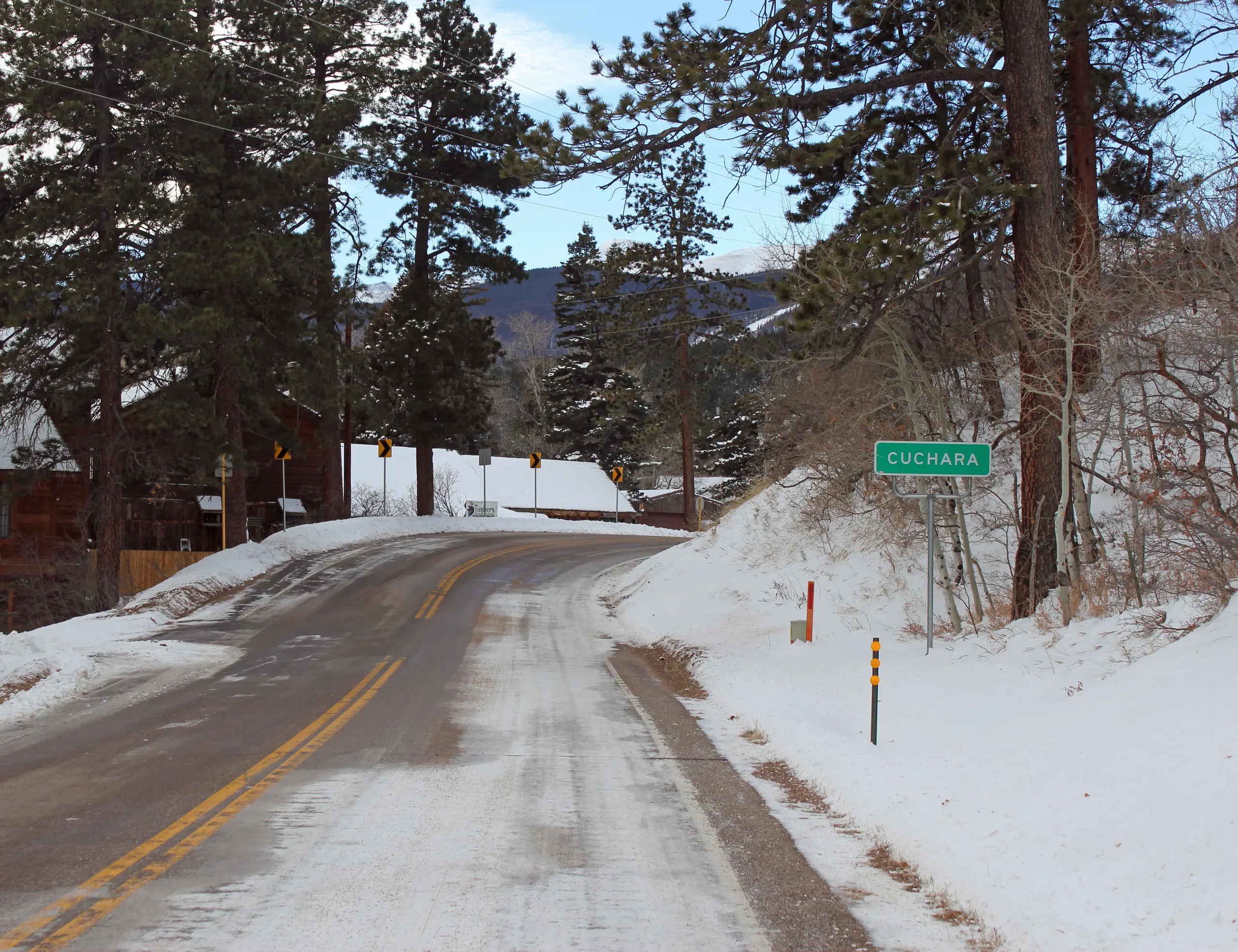
The warning covers Walsenburg and the upper Huerfano River basin below 7,500 feet, along with the southern Sangre de Cristo mountain zones above that elevation. Cuchara, Weston, Stonewall and the Spanish Peaks are among the named locations.
Southwest winds of 25 to 40 mph are forecast. Trees and power lines could fall, and power outages are possible. The weather service urges people to secure loose outdoor objects before the wind arrives.
What drivers should check
High-profile vehicles face particular difficulty. In its published wind-safety guidance, the Colorado Department of Transportation says strong gusts can make trailers sway or tip, especially on bridges, overpasses and open highway stretches. RVs, vans, buses and some pickups and SUVs can also be affected.
CDOT advises drivers to reduce speed, keep both hands on the wheel and leave larger vehicles extra room. A sudden gust can push a vehicle off course; avoid overcorrecting. Delay unnecessary travel during the strongest winds when possible.
Road restrictions are issued separately by CDOT and the Colorado State Patrol for specific highway segments when conditions threaten safety. The agency's guidance says affected high-profile vehicles may have to park and shelter or turn around until travel is safe.
Before setting out, check COtrip for the current route's restrictions and alerts. The warning identifies the main I-25 wind concern in Huerfano County; it does not apply the same gust forecast to the entire interstate through Colorado.