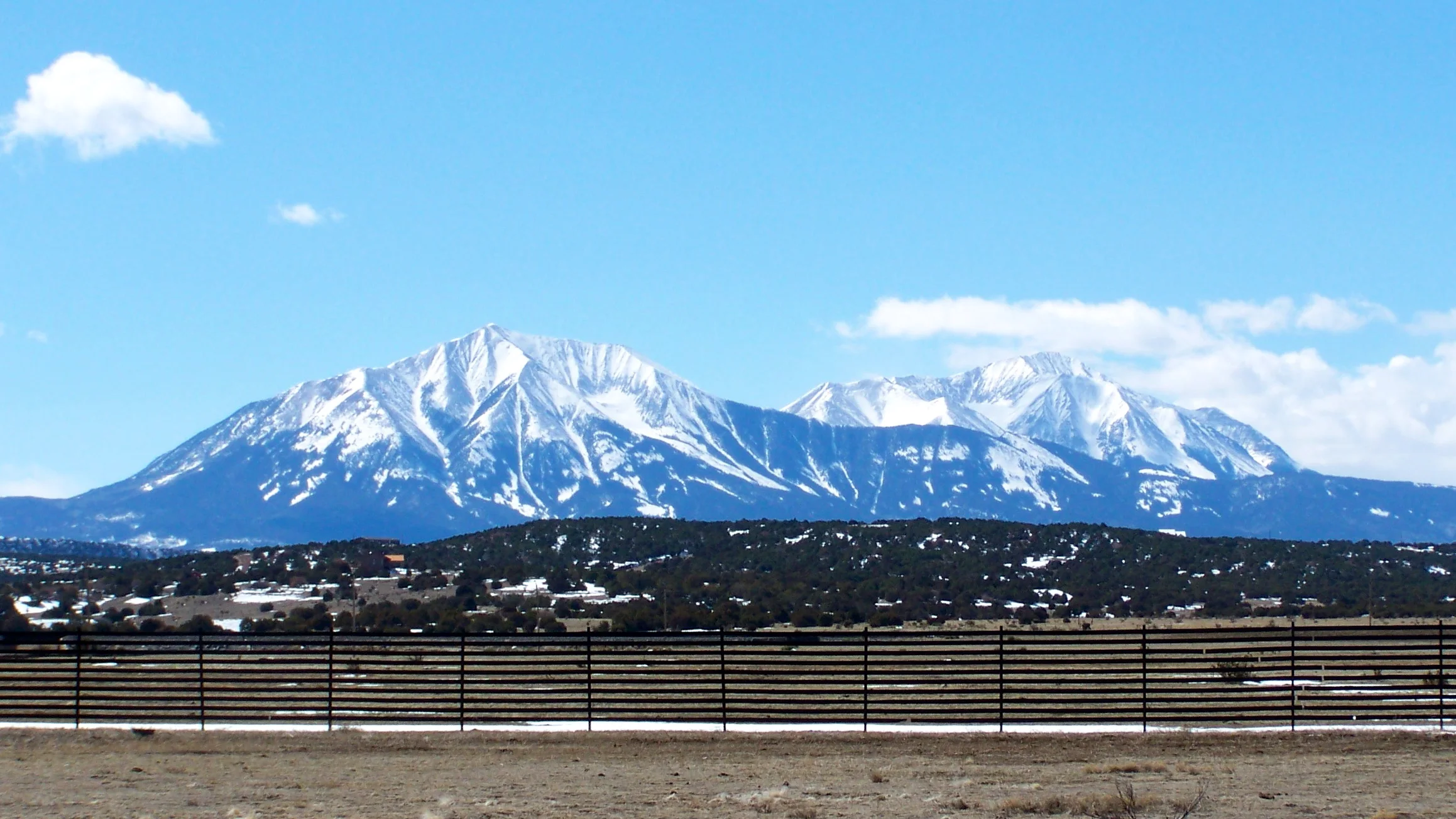

Heavy snow is forecast for Idaho’s Bear River Range and Big Hole Mountains from Thursday evening through early Saturday. The National Weather Service expects total accumulations of 10 to 20 inches and warns that travel could be very difficult.
The Pocatello office’s warning, issued at 1:06 p.m. Mountain on November 19, takes effect at 5 p.m. Thursday and ends at 5 a.m. Saturday, November 21. Those times are 4 p.m. Thursday through 4 a.m. Saturday Pacific.
The warned mountain areas include Emigration Summit and Victor. The snowfall total is the forecast for the warning period, which includes Friday and Friday night.
Check mountain road conditions

Check Idaho 511 before setting out. Its Road Conditions layer shows reported conditions by road segment, and the service also provides cameras and closure information. Call 511 for road reports by phone.
The Idaho Transportation Department’s winter guidance advises drivers to slow down, leave more space between vehicles and avoid cruise control on icy roads. Bridges and overpasses can freeze first.
Give working snowplows room. The department says plows have large blind spots, and the safest place to drive is behind them. Avoid following or passing too closely.
For anyone who must travel through the warned areas, the Weather Service recommends keeping an extra flashlight, food and water in the vehicle in case of an emergency.