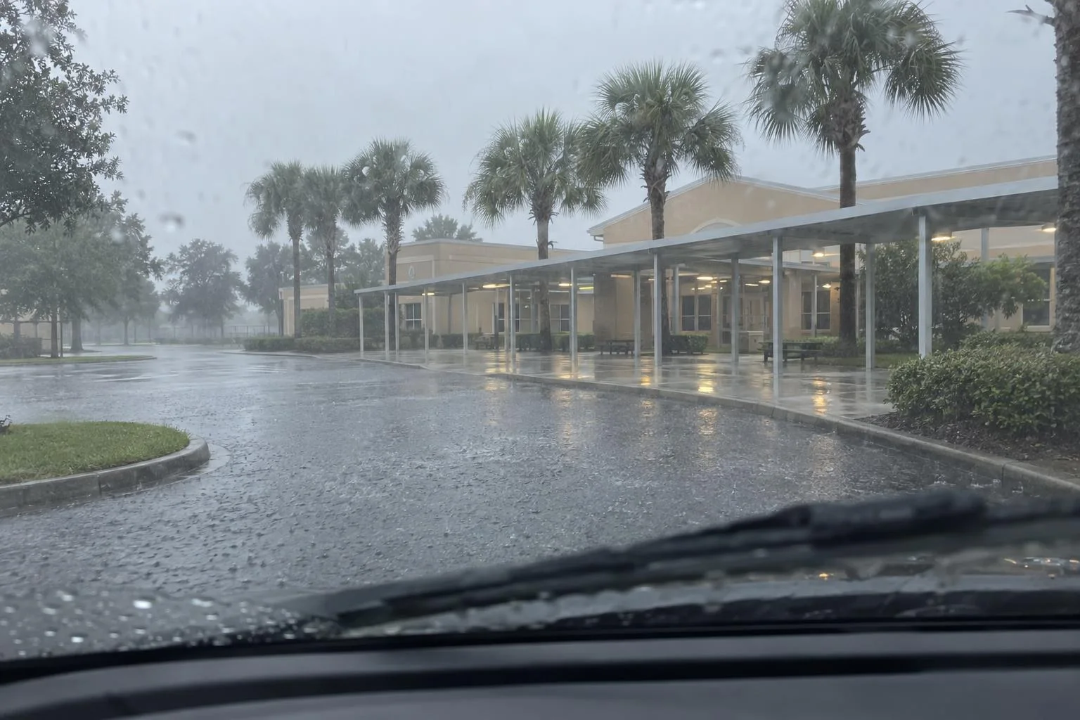
Most of Brevard and Volusia counties on Florida's east coast are under a High Risk of excessive rainfall for Friday, Nov. 20, the top level on the National Weather Service's four-step flood scale. The service's Weather Prediction Center first raised Brevard County to High Risk on Thursday morning after reports of water rescues, flooded streets and water entering homes. In its Thursday afternoon outlook, the center said "considerable to locally catastrophic flash flooding impacts are most likely through Friday night" in both counties, closest to the coast.
The center expects 4 to 8 more inches of rain on average there, with higher totals where bands of rain keep passing over the same neighborhoods. Parts of the two counties have already had 8 to 12 inches. A low-pressure system forming off the coast late Friday could also push heavy rain farther inland, though forecast models still disagree on its track.
What a Level 4 risk means
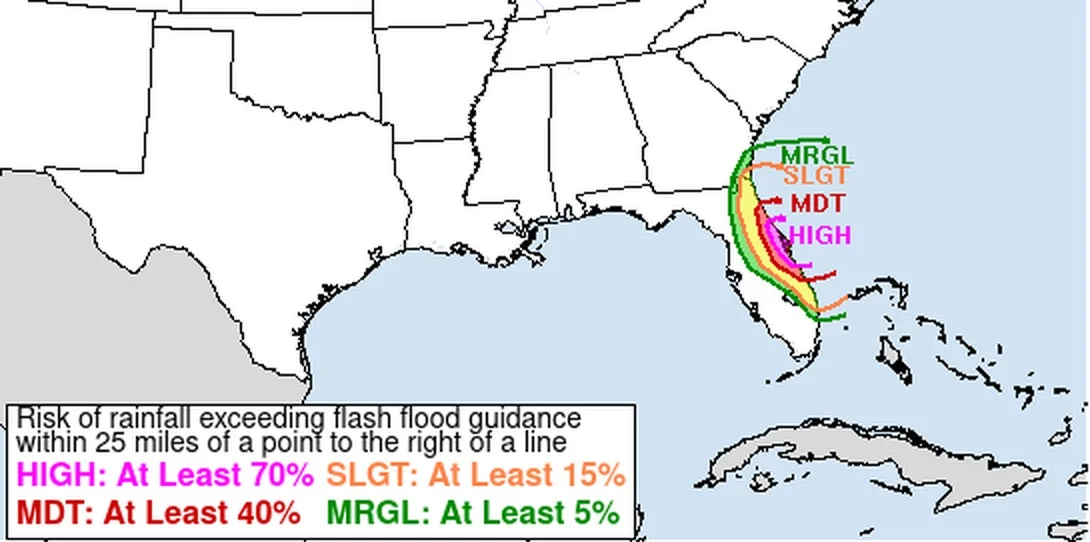
The Weather Prediction Center's outlook estimates the chance that rainfall will exceed local flash flood guidance, the amount of rain an area can take before flash flooding starts, within 25 miles of any given point. On its Friday map, High Risk means a chance of at least 70% and Moderate at least 40%. The center issued Thursday's Brevard upgrade together with the National Weather Service office in Melbourne.
The center did not expect especially heavy hourly rainfall in Brevard on Thursday. The danger comes from how long the rain has lasted. Any more rain "will have nowhere to go except to worsen already all-time-record breaking flooding," the forecaster wrote.
Where the worst flooding is
The Melbourne office issued flood and flash flood warnings across Brevard through Thursday afternoon. Radar and rain gauges showed 6 to 11 inches of rain in central Brevard, including Titusville, Cocoa, Rockledge, Merritt Island, Cocoa Beach, Satellite Beach, Cape Canaveral and Viera, and 4 to 8 inches in the southeast around Melbourne, Palm Bay, West Melbourne and Malabar. Numerous roads were closed in both areas. A separate flash flood warning covered northwestern Brevard and southeastern Volusia, including Mims, New Smyrna Beach, Edgewater and Oak Hill, where rain was falling at 1 to 3 inches an hour.
The NWS office in Melbourne posts the warnings in effect at any moment.
The St. Johns River is above its record
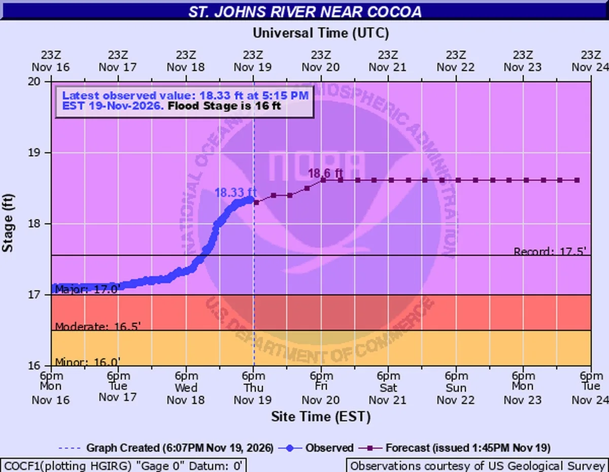
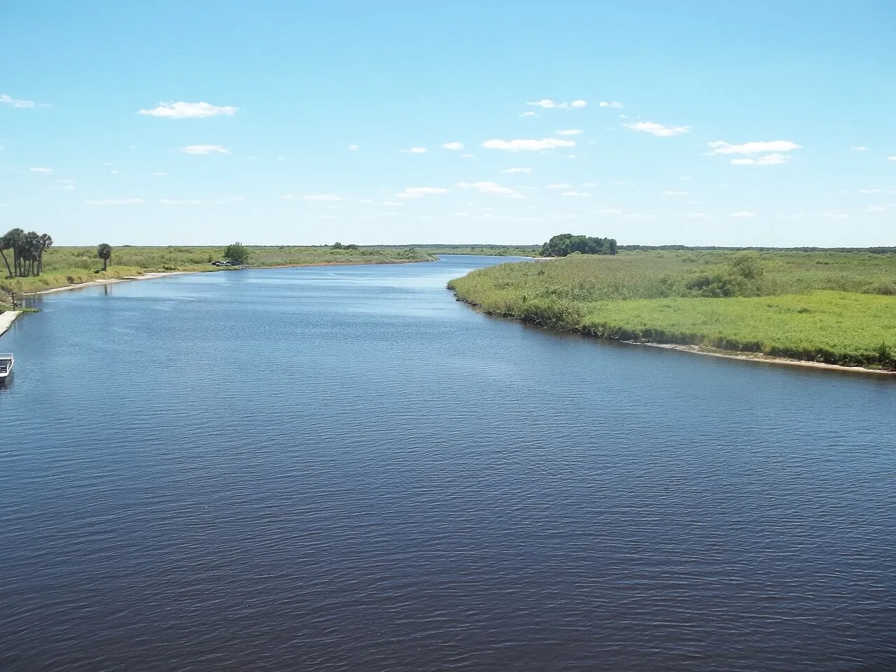
The upper St. Johns River runs along Brevard's western edge. Near Cocoa, the river stood at 18.33 feet at 5:15 p.m. Eastern on Thursday, above its record of 17.5 feet, according to the NWS river gauge. Flood stage there is 16 feet. At 17.2 feet, the NWS flood warning says, water enters homes along the river in the Lake Poinsett area west of Cocoa and low-lying homes in the Silver Pines subdivision in Rockledge and the Shakespeare Park area of Cocoa, and Providence Road west of Cocoa becomes impassable. The latest forecast has the river rising to about 18.6 feet by Friday evening and holding there into early next week. Edit USA reported Thursday morning when the gauge first passed its record.
Downstream, the river near Geneva above Lake Harney, in Seminole County, reached 10.1 feet on Thursday and is forecast to crest at 13 feet early Sunday afternoon, also above its record. Once it passes 10.8 feet, State Road 46 goes under water near Jungle Road and Prevatt Road and may become impassable. Volusia County asked residents near Lake Harney, including Lake Harney Woods, to watch the river closely, and said it expects the river at Astor and DeLand to reach major flood stage late this weekend or early next week.
Emergency orders and closures
Gov. Ron DeSantis declared a flooding emergency on Nov. 2 for Brevard and six other counties. An order signed Nov. 18 extended it to 21 counties, from Duval and St. Johns in the northeast to Miami-Dade and Monroe in the south, including Volusia. Under the original order, selling or renting essential goods at unconscionable prices in those counties violates Florida's price-gouging law.
Brevard Public Schools closed all schools and district offices on Thursday and Friday. Brevard County also shut its solid waste disposal sites, including the Sarno Landfill and the Central Disposal Facility, so some trash pickups were not completed Thursday, according to an update from the city of Cocoa Beach. The city asked residents to stay off flooded roads, keep out of the ocean because of rough surf and rip currents, and cut back on laundry and dishwashing to ease the load on its sewer system. The city of Palm Bay posted a notice Thursday morning that it is conducting mandatory evacuations.
Volusia County asks residents whose homes or businesses take in floodwater to report it through the Volusia Emergency Management app or at volusia.gov/emergency, and it lists sandbag sites at volusia.gov/sandbags.