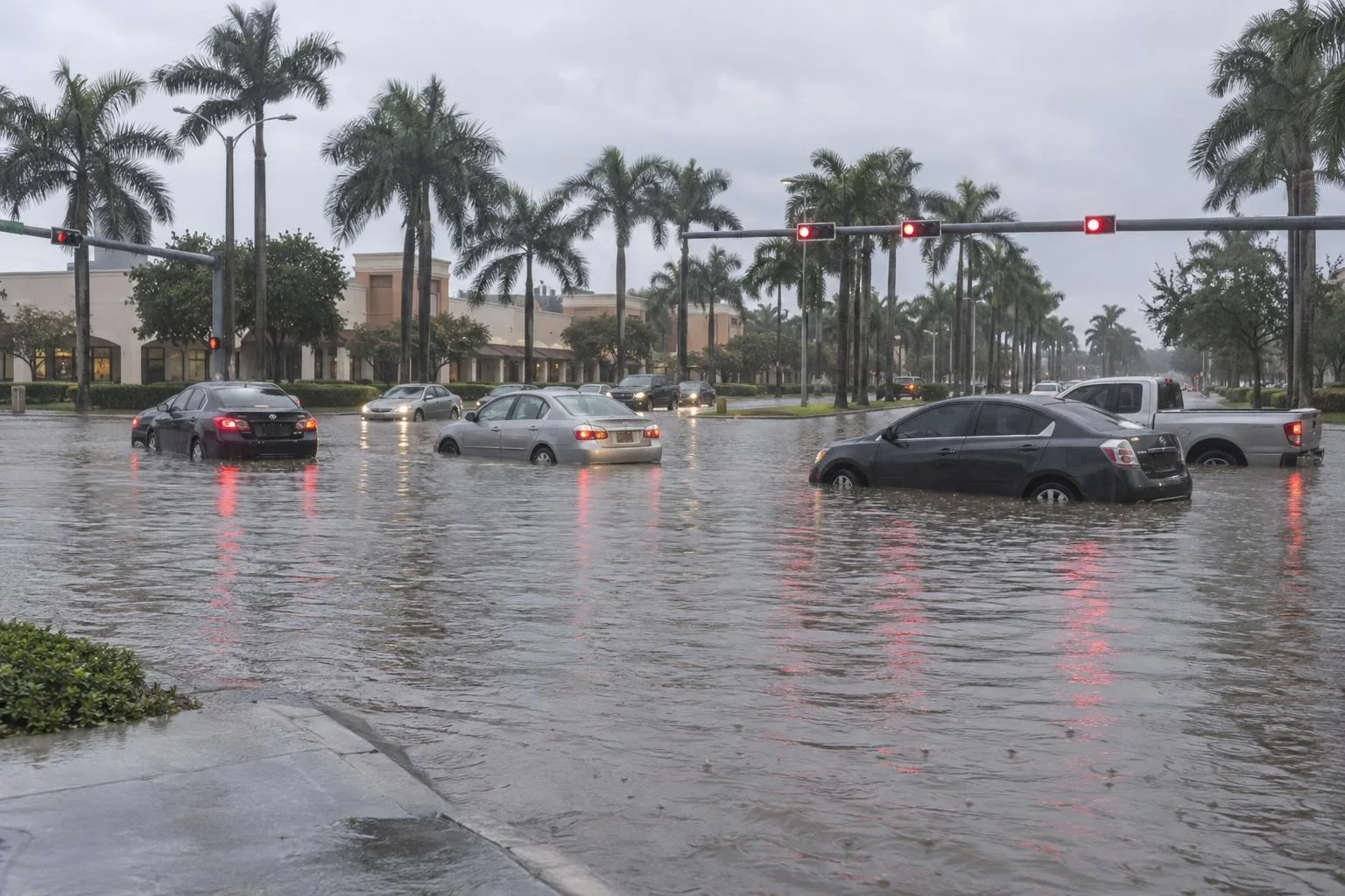
Broward County Public Schools closed every school and district office on Wednesday, Nov. 18, after overnight storms that radar showed had dropped 8 to 11 inches of rain on parts of southern Broward County. The closure also covers before- and after-school care programs, extracurricular activities and district-sponsored events scheduled for Wednesday.
More rain is coming. The National Weather Service in Miami has a flood watch in effect through Thursday evening for Broward, Miami-Dade and Palm Beach counties.
What the district told families
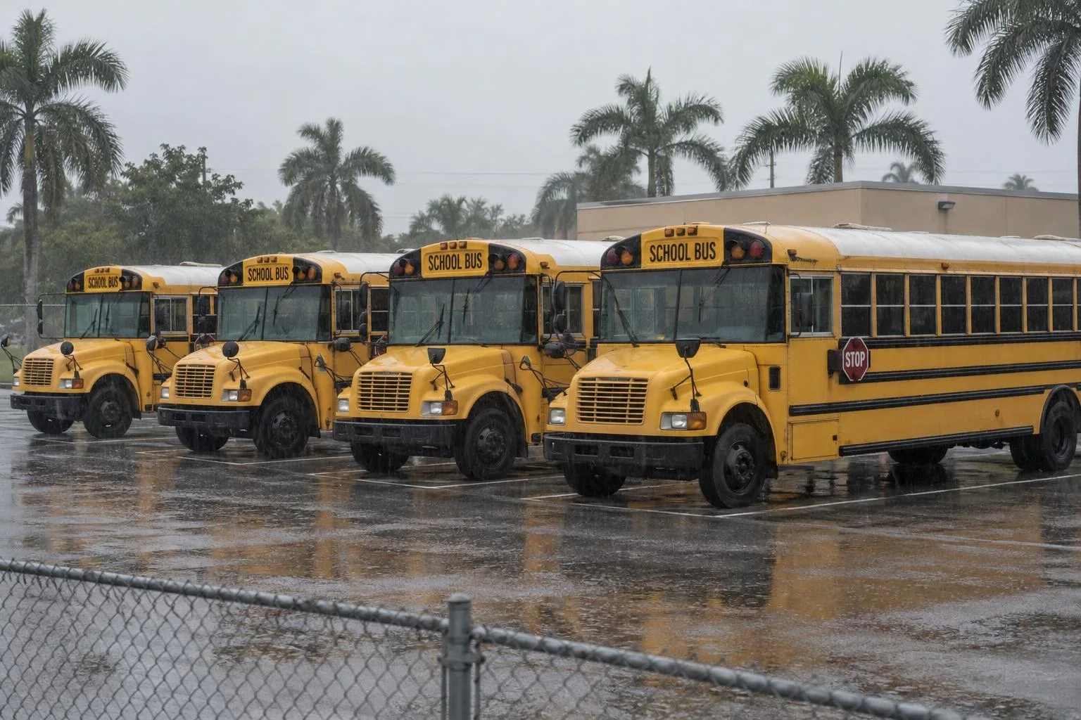
The district told parents and guardians in a message on Wednesday that it was closing because of the weather. "The safety of our students, staff, and families remains our top priority," the message said. "We encourage everyone to exercise caution and stay safe."
The district has not said whether schools will reopen Thursday. It said it would give an update on Thursday's operations later on Wednesday, and asked families to watch district messages for the latest information.
How much rain fell overnight
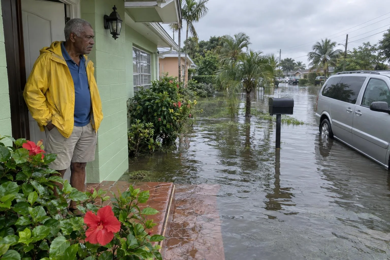
The weather service issued its first flash flood warning for southern Broward at 10:40 p.m. Eastern on Tuesday, when radar showed 2 to 4 inches had already fallen. By 11:06 p.m., the estimate had risen to 4 to 6 inches. At 12:42 a.m. Wednesday, the office extended the warning and said radar showed 8 to 11 inches had fallen, calling the flash flooding life threatening.
That warning listed Fort Lauderdale, Hollywood, Hallandale, Dania Beach, West Park, Pembroke Park, Fort Lauderdale-Hollywood International Airport and the I-595 and I-95 interchange among the places at risk. An earlier warning also covered Davie, Plantation, Sunrise, Lauderhill and Cooper City.
Storm reports the weather service logged overnight, based on photos and video posted by the public, described:
| Time (Eastern) | Place | What was reported |
|---|---|---|
| 10:53 p.m. Tuesday | Plantation | Street flooding covering cars' wheels about halfway |
| 11:10 p.m. Tuesday | Hollywood | Quarter-size hail from a severe thunderstorm |
| 11:48 p.m. Tuesday | Plantation, along Nob Hill Road | Flooding up to the curb |
| 12:30 a.m. Wednesday | West of Hollywood, at U.S. 441 and Sheridan Street | Cars with wheels nearly submerged |
What to expect through Thursday
The flood watch says several more rounds of storms could bring 2 to 4 inches of rain through late Thursday. Some places could get 6 to 8 inches. A few could top 10. Rain could fall at 1 to 2 inches an hour in the heaviest storms, and poor drainage and urban areas are most likely to flood.
The weather service tells drivers not to go through flooded roads, since most flood deaths happen in vehicles. In Fort Lauderdale, the city asks residents to report impassable roads to its Customer Support Center at 954-828-8000.
The rain is the latest round of a wet stretch along Florida's Atlantic coast that Edit USA wrote about on Sunday. Edit USA will update this report when the district announces its plans for Thursday.