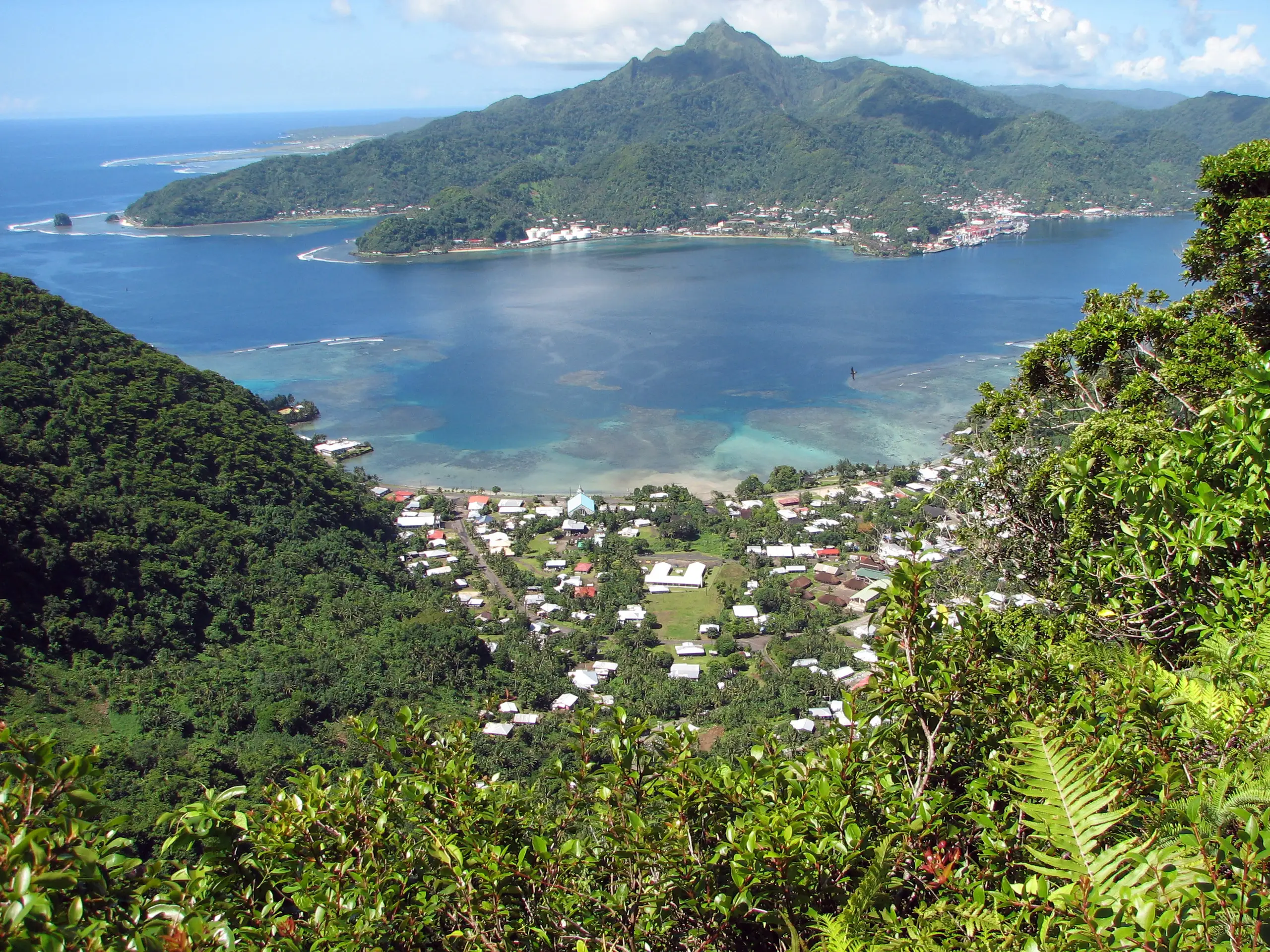
American Samoa is already dealing with hazardous seas as forecasters watch Hurricane Xavier for possible effects from Friday night into early next week. The National Weather Service in Pago Pago says heavy rain, dangerous surf and seas, and tropical storm force winds are possible, with low confidence in the storm's track and strength.
The local forecast does not place those possible cyclone effects over the territory immediately. High surf and small craft advisories are already in effect, while strong trade winds are producing rough conditions ahead of any closer approach by Xavier.
Rough seas are already here
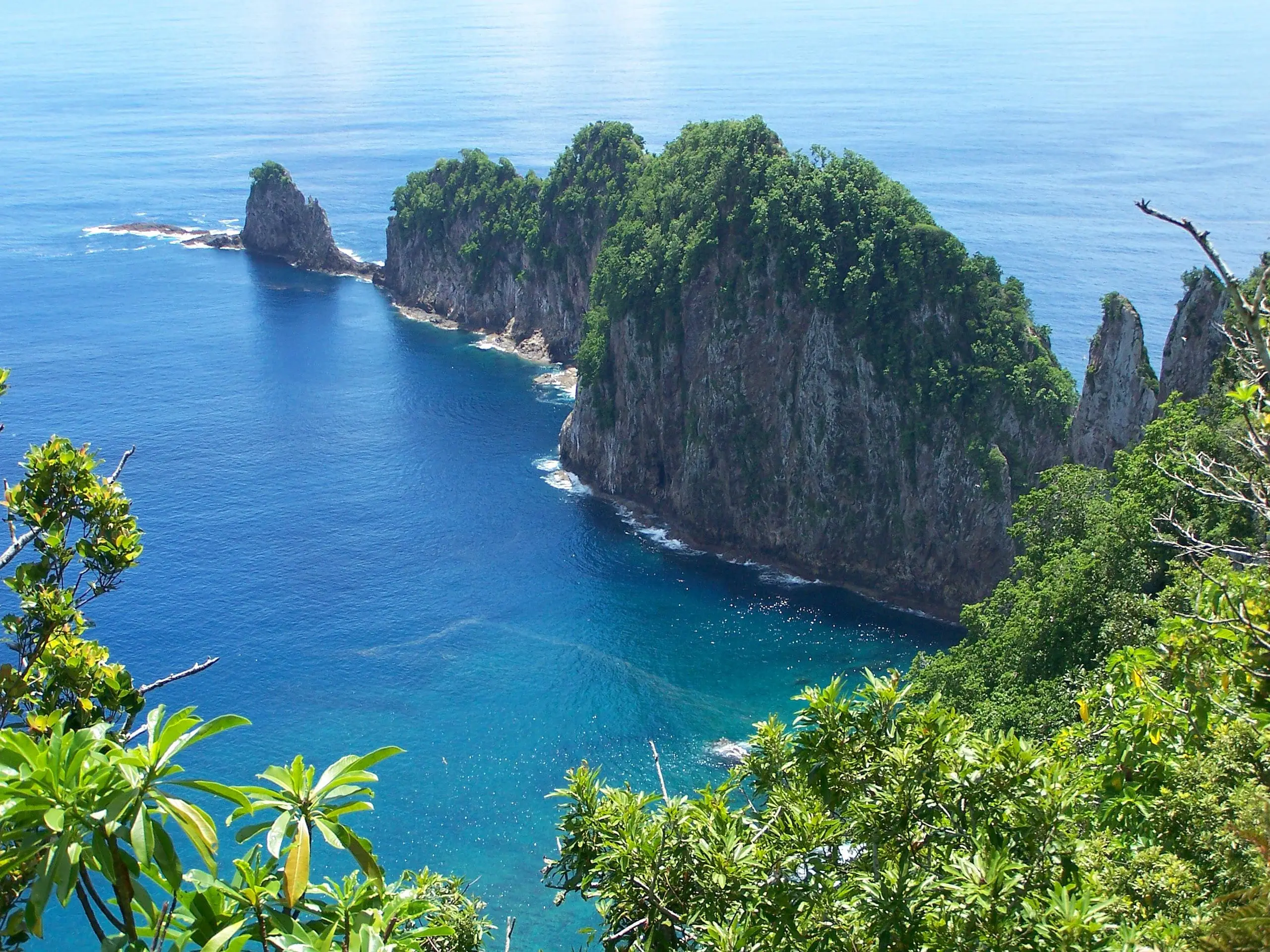
In its Tuesday afternoon forecast discussion, issued at 2:28 p.m. Samoa Standard Time on Nov. 17, the weather service reported seas of 11 to 12 feet at the buoy east of Aunuu. A ridge of high pressure is sustaining the fresh to strong southeasterly breeze and choppy water.
The coastal waters forecast covers waters out to 40 nautical miles, including the National Marine Sanctuary of American Samoa. Its forecast areas include Swains Island, Pago Pago Harbor, the waters around Tutuila and Aunuu, Manua, and Rose Atoll.
For Wednesday, Nov. 18, it lists southeast winds of 20 to 25 knots and seas of 10 to 14 feet. Thursday and Friday bring somewhat lower seas of 9 to 12 feet. Those forecasts describe offshore conditions; people deciding whether to swim or go near breaking waves should also check the local surf advisory.
A high surf advisory means breaking waves threaten life and property in the surf zone. A lower forecast for offshore seas later in the week should not be treated as an all-clear for a particular beach or harbor entrance.
Xavier's possible weekend effects
The marine forecast issued at 9:59 p.m. Samoa Standard Time on Nov. 17 placed Xavier about 537 miles northeast of Tutuila, moving slowly south or southwest. The earlier forecast discussion expected gradual weakening but said the direction and exact strength remained uncertain. Forecasters were watching Friday night, Nov. 20, through early next week for possible effects on the territory.
The marine forecast similarly places any significant effects from a closer approach no earlier than Friday night. It calls for widespread showers Friday night and through the weekend.
Before going out on the water
The weather service's boating preparation advice calls for checking the latest coastal forecast and buoy observations before departure. It also advises carrying essential safety equipment and communications tools, with a Coast Guard-approved life jacket aboard for every passenger. Wearing the jacket provides protection if someone enters the water unexpectedly.
For the latest local conditions, use the Pago Pago forecast office and its current marine and surf messages before making a beach or boating trip.