

A storm forming over the Mid-Atlantic late this week could bring early-season snow to the mountains of West Virginia and western Pennsylvania, and the cold air behind it is expected to bring the first frost or freeze of the season to the Ohio and Tennessee valleys and parts of the Deep South by Saturday morning, Nov. 14.
The forecast comes from the National Weather Service's Weather Prediction Center, whose extended forecast discussion issued early Monday describes a low taking shape over the Mid-Atlantic on Thursday night, Nov. 12, then strengthening offshore on Friday.
The track is still uncertain.
Where snow and rain are most likely
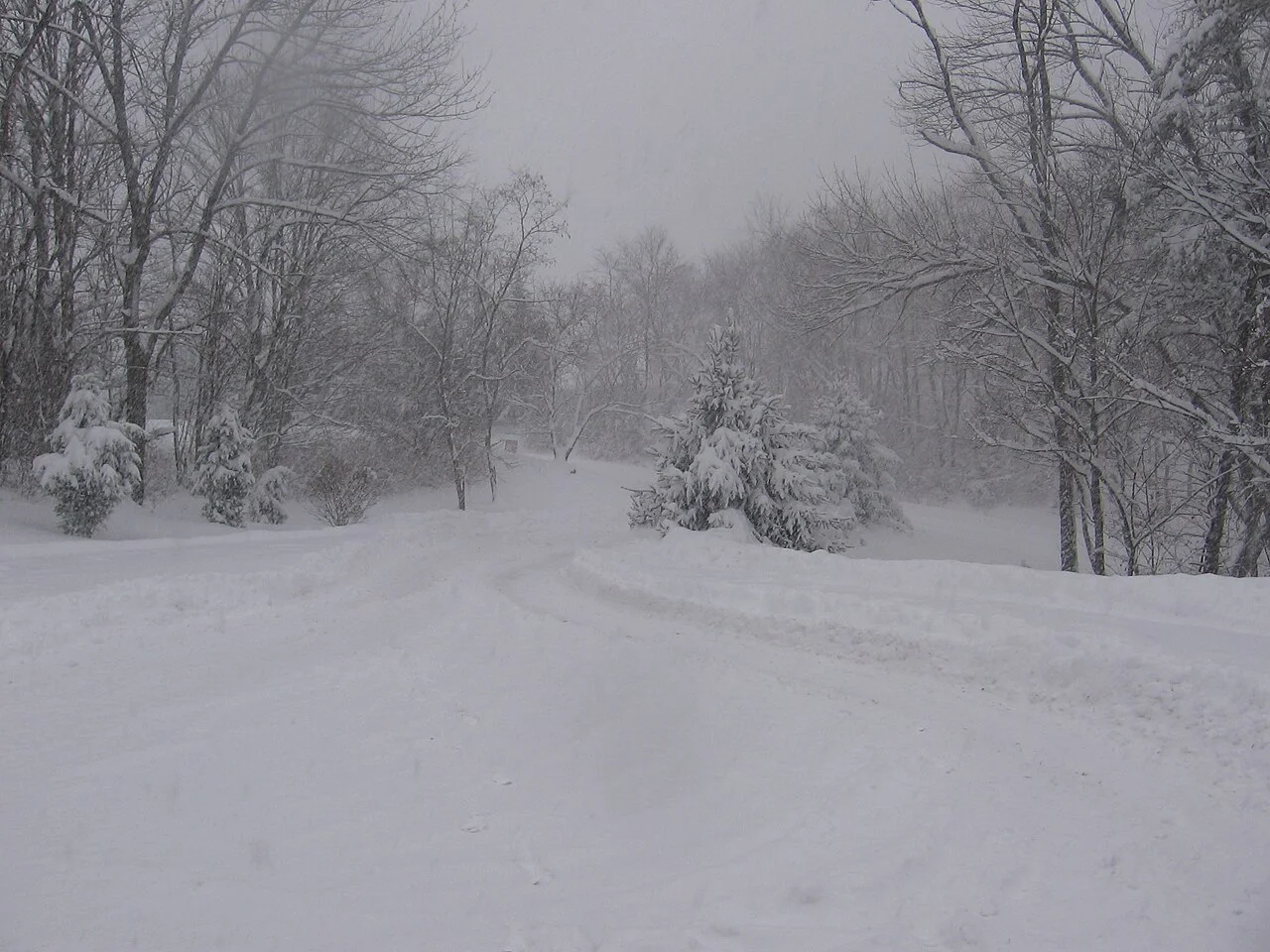
Over the past day the models have shifted the storm farther south, the center said, so the heaviest rain now looks more likely over the northern Mid-Atlantic than over Upstate New York. Snow is possible "for the higher terrain of West Virginia and western Pennsylvania." Lake-effect rain and snow showers are likely behind the storm as much colder air crosses the Great Lakes.
The center did not give snow totals, and no winter storm watches or warnings had been issued for the region as of early Monday. Local Weather Service offices issue those.
How cold it gets
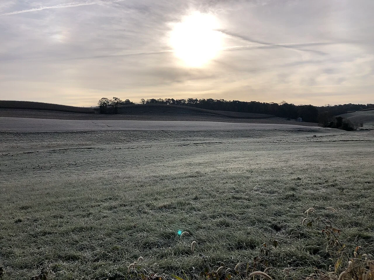
Highs east of the Mississippi River are forecast to run 5 to 15 degrees below normal on Friday, from the Southeast to the Mid-Atlantic. Many places in the Ohio Valley, the Tennessee Valley and parts of the Deep South could see their first frost or freeze of the season by Saturday morning, according to the discussion.
The Climate Prediction Center's 6 to 10 day outlook for Nov. 14 to 18 favors near or below normal temperatures for the eastern states early in that period, with the trough moving out into the North Atlantic, and it favors above normal temperatures for most of the country from the Pacific coast to the Lower Mississippi Valley.
| Region | What the forecast shows | When |
|---|---|---|
| West Virginia and western Pennsylvania mountains | Early-season snow possible | Thursday night into Friday, Nov. 12 to 13 |
| Northern Mid-Atlantic | Heaviest rain from the storm | Friday, Nov. 13 |
| Ohio and Tennessee valleys, parts of the Deep South | First frost or freeze of the season | By Saturday morning, Nov. 14 |
| Central and northern Plains | Highs 10 to 20 degrees above mid-November averages | Late week |
| West Coast | Heavier rain and high mountain snow reaching the Sierra | Sunday into Monday, Nov. 15 to 16 |
The warm spell in the central and northern Plains comes from a ridge of high pressure, and the Climate Prediction Center puts the chance of above normal temperatures above 90 percent in parts of the Northern Plains for Nov. 14 to 18.