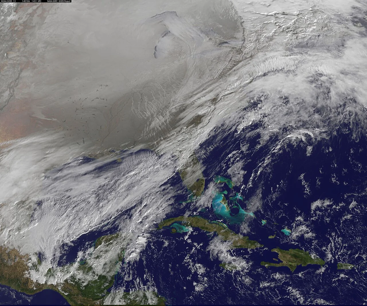
The polar vortex, the band of strong winds that circles the Arctic high in the stratosphere each winter, is weakening far earlier in the season than usual. That kind of disruption can open the door to Arctic air spilling south. For most of the United States, though, NOAA's latest outlooks point the other way through early December.
In its Week 3-4 outlook discussion, issued Friday afternoon, the Climate Prediction Center says "an unusually early sudden stratospheric warming (SSW) event is underway over the Arctic region." Forecasters expect the warming event to be "relatively short-lived," and they say El Niño, not the polar vortex, is favored to be the main influence on the weather pattern from Nov. 21 to Dec. 4.
What a sudden stratospheric warming does
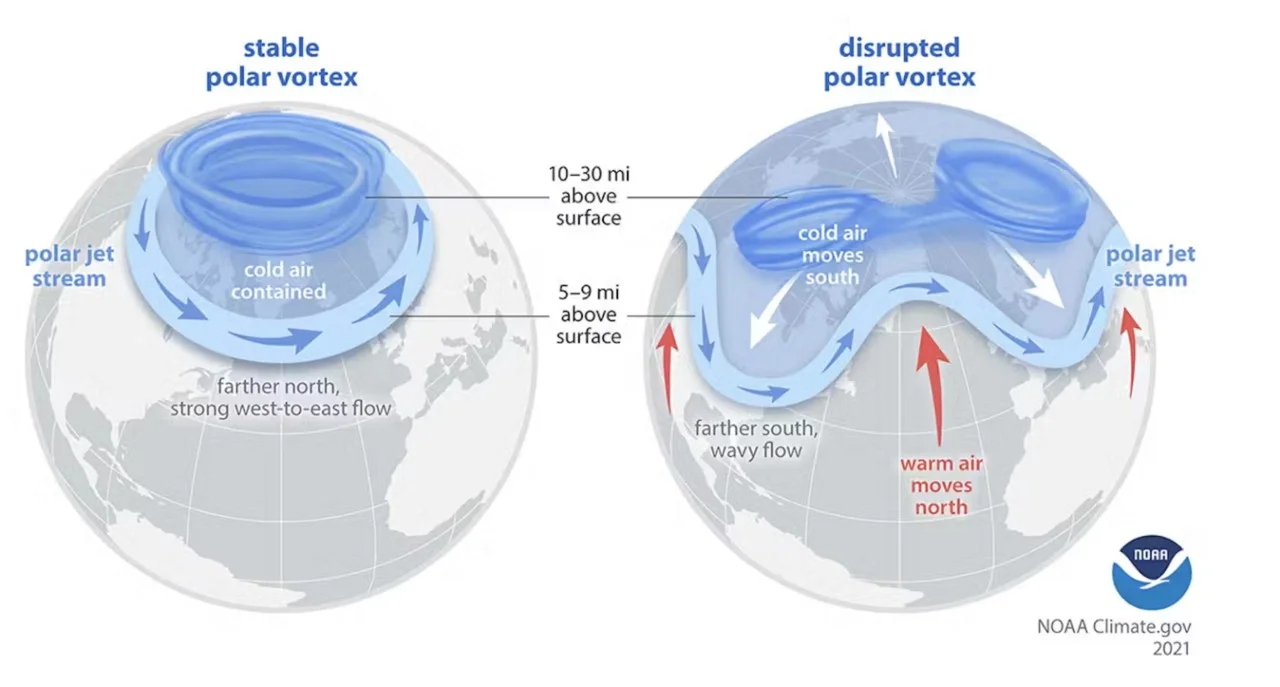
In a sudden stratospheric warming, temperatures in the stratosphere over the pole climb quickly and the polar vortex winds slow down or even reverse. A weak vortex can push the jet stream into a wavier shape near the ground, and that is how cold Arctic air sometimes reaches the mid-latitudes, often weeks after the stratosphere changes. It doesn't always happen. CPC says the current event may help tip the Arctic Oscillation and North Atlantic Oscillation negative over the coming week, and model forecasts show that negative phase fading by the end of the following week.
What NOAA's outlooks show
| Period | NOAA outlook |
|---|---|
| Nov. 12 to 16 | Above-normal temperatures over the western and central U.S., near to below normal in the eastern third, coolest near the Atlantic coast |
| Nov. 14 to 20 | Above-normal temperatures across most of the country. Near normal along the East Coast and in northern and central California |
| Nov. 21 to Dec. 4 | Above normal favored for Alaska, the West Coast, the northern tier, and most strongly the Great Lakes and Northeast. Below normal favored for the Four Corners and much of Texas |
The 6-to-14-day discussion gives the northern Plains the strongest odds of warmth, an 80 to 90 percent chance of above-normal temperatures from Nov. 12 to 16. Overnight lows near freezing in the Ohio and Tennessee valleys during that stretch are "not unusual for mid-November," it says.
For late November and early December, the Week 3-4 discussion says the forecast pattern "limits the availability of Arctic air masses across North America that could drive any significant cold air outbreaks into the US." The Southeast is slightly favored to run warm, though some models show colder air reaching it around the fourth week.
Why El Niño matters more right now
NOAA's El Niño advisory says a strong to very strong El Niño is likely through January to March 2027, with a greater than 83 percent chance. Sea surface temperatures in parts of the eastern equatorial Pacific are more than 4 degrees Celsius above normal.
That El Niño pattern also shapes precipitation. The Week 3-4 outlook favors a wetter than normal stretch for much of California, the southern half of the country and the Eastern Seaboard into southern New England, where it expects an active storm track. The northern Rockies and northern Plains lean drier.
CPC updates the 6-to-10 and 8-to-14-day outlooks every afternoon and the Week 3-4 outlook every Friday.