Update, 3:05 p.m. Central: The Shreveport-area warning expired at 12:45 p.m. At 3:01 p.m., the weather service's Shreveport office issued a new tornado warning farther east, for northwestern Lincoln Parish, west central Union Parish and east central Claiborne Parish, until 3:45 p.m. It placed a storm capable of producing a tornado 11 miles southwest of Bernice, or 13 miles east of Homer, moving northeast at 20 mph, with rotation indicated on radar. The places it names are Bernice and Lisbon, and it repeats the line "Heavy rainfall is hiding this tornado."
The National Weather Service office in Shreveport issued a tornado warning at 11:58 a.m. Central on Tuesday for central Bossier Parish and south central Caddo Parish in northwestern Louisiana. The warning says the rain is hiding the tornado.
"Heavy rainfall is hiding this tornado," the warning says. "Do not wait to see or hear the tornado. Take cover now!"
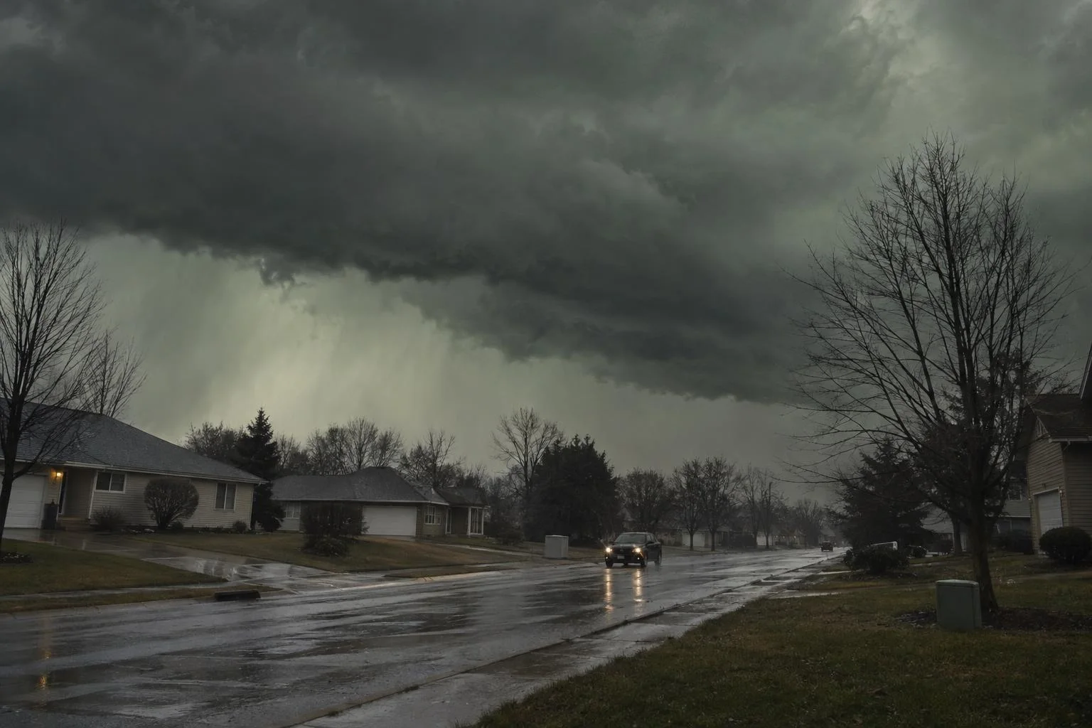
Forecasters said a severe thunderstorm capable of producing a tornado was over Shreveport at 11:58 a.m., moving northeast at 30 mph, with rotation indicated on radar. The warning runs until 12:45 p.m. Central.
Who is in the path
The weather service lists the locations in the warning as Shreveport, Bossier City, Benton, Fosters, Eastwood, Ferguson, Red Chute, Linton, Barksdale Air Force Base, Bodcau, Princeton, Bellevue, Fillmore and Alden Bridge.
A second warning, issued three minutes earlier for Caddo Parish alone, covered a storm six miles southwest of Shreveport and expired at 12:15 p.m. Central.
Both carry the weather service's highest severity rating, with urgency listed as immediate and the tornado described as observed rather than merely possible. Barksdale Air Force Base sits inside the first warning area, across the Red River from Shreveport.
What the weather service says to do
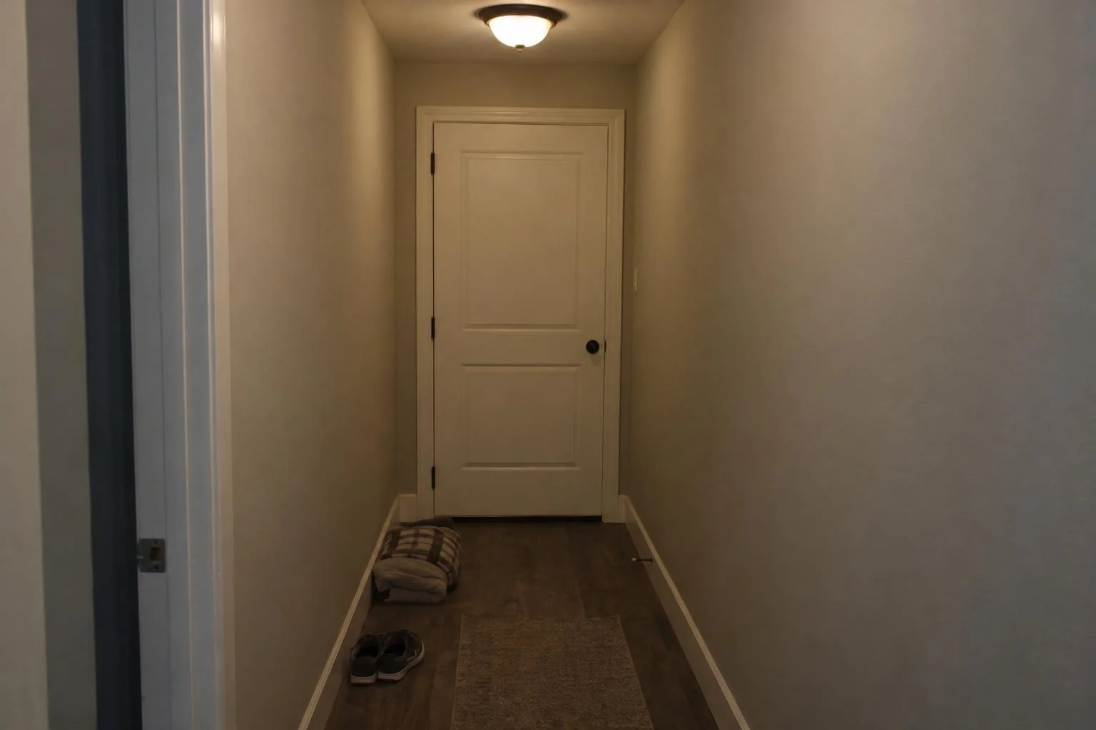
Move to an interior room on the lowest floor of a well-built building, away from windows. Anyone outdoors, in a mobile home or in a vehicle should move to the closest substantial shelter and protect themselves from flying debris.
The warning also notes torrential rainfall with the same storm and the risk of flash flooding, and tells drivers not to cross flooded roads. A rain-wrapped tornado is the reason the instruction is worded that way, because a funnel can be invisible from a few blocks off and waiting for a look at it costs the minutes the warning is meant to buy.
The wider setup today
The Storm Prediction Center's Day 1 outlook, issued at 10:26 a.m. Central, places a marginal risk of severe thunderstorms from east Texas north and east into the lower and mid Mississippi valleys. Its summary expects isolated severe wind gusts and "perhaps a brief tornado or two" from the Sabine and lower Mississippi valleys northward into the mid Mississippi valley.
The center attributes the setup to a midlevel cyclone over the southern Plains that is deepening as it lifts northeast toward the upper Midwest, with a surface low over northeast Kansas tracking into eastern Iowa during the day before pivoting north and then northwestward overnight as it occludes. A marginal risk is the lowest of the center's five severe categories, which means isolated storms rather than a widespread outbreak, and it still covers a long stretch of the country.
Tornado warnings are short. They cover a specific storm for a specific stretch of minutes, and new ones replace them as a storm moves. The live list is on the weather service's alerts page, and the Shreveport office posts its own updates at weather.gov/shv.