Visitors to Mojave National Preserve will lose access to Kelso Dunes on Monday, Nov. 16, when the park closes South Kelbaker Road between Kelso and the preserve’s southern boundary near Interstate 40. The closure also takes two primitive camping areas out of use and cuts off the usual drive from I-40 to Kelso Depot. Travelers can still reach the depot from Interstate 15 at Baker, California.
The work starts a roughly 42-mile rehabilitation of South Kelbaker and Kelso-Cima roads. The National Park Service expects the full project to finish in 2029. Its closure notice ties access to the dunes and nearby campsites to the end of the South Kelbaker phase and gives no separate reopening date for that phase.
What closes with South Kelbaker Road
The closure includes the Kelso Dunes trail and primitive campsites, plus the Granite Pass and Kelbaker Boulders primitive camping area. The park calls the dunes its most popular hike. The trailhead sits off South Kelbaker Road, so approaching from the north via Kelso Depot does not get hikers around the closure. The park’s conditions page also has a standing road table and older driving directions. The dated Nov. 16 notice at the top is the one to use for trips beginning Monday.
The closure starts at the preserve boundary near I-40. The interstate remains open to drivers traveling between Barstow and Needles. The change is for people turning into the preserve from I-40 or planning to cross it on Kelbaker Road between I-40 and I-15. The Park Service warns that phased construction can add substantial drive time and tells visitors to leave barricades in place.
How to reach Kelso Depot from I-15

Exit I-15 at Baker and follow Kelbaker Road south for 34 miles to Kelso Depot. The drive to the depot uses the northern stretch of Kelbaker Road. The indoor visitor center is separately closed, but the park lists the depot’s grounds, restrooms, parking and water filling as open. Kelso-Cima Road also remains open at the start of this phase. Check its current status if you plan to continue northeast toward Cima, especially once work moves to that corridor.
There is no fuel for sale inside the preserve or at the Kelbaker Road interchange with I-40. Baker is a fuel stop for the northern approach. The park lists Ludlow and Fenner for drivers coming along I-40. Drivers crossing the western desert Monday night should also check the wind advisory for state routes 14, 58 and 178.
Where to hike or camp instead
From I-40, take Essex Road north about 10 miles to Black Canyon Road, then drive another 10 miles to Hole-in-the-Wall. The preserve lists the campground and picnic area there as open. It also reports storm debris and shoulder washouts on parts of the paved Black Canyon Road near Essex Road. That approach reaches a different part of the preserve, away from the dunes closure. The Hole-in-the-Wall campground sits at 4,400 feet and has no electric hookups. Most RV and trailer sites are limited to 30 feet. The park identifies two pull-through sites that can take longer vehicles.
The Rings Loop starts at the Hole-in-the-Wall Information Center parking area. The 1.5-mile circuit uses metal rings to climb out of narrow Banshee Canyon. The half-mile nature trail runs between the campground and the visitor center for anyone who wants a walk without that climb.
Why the roads need work
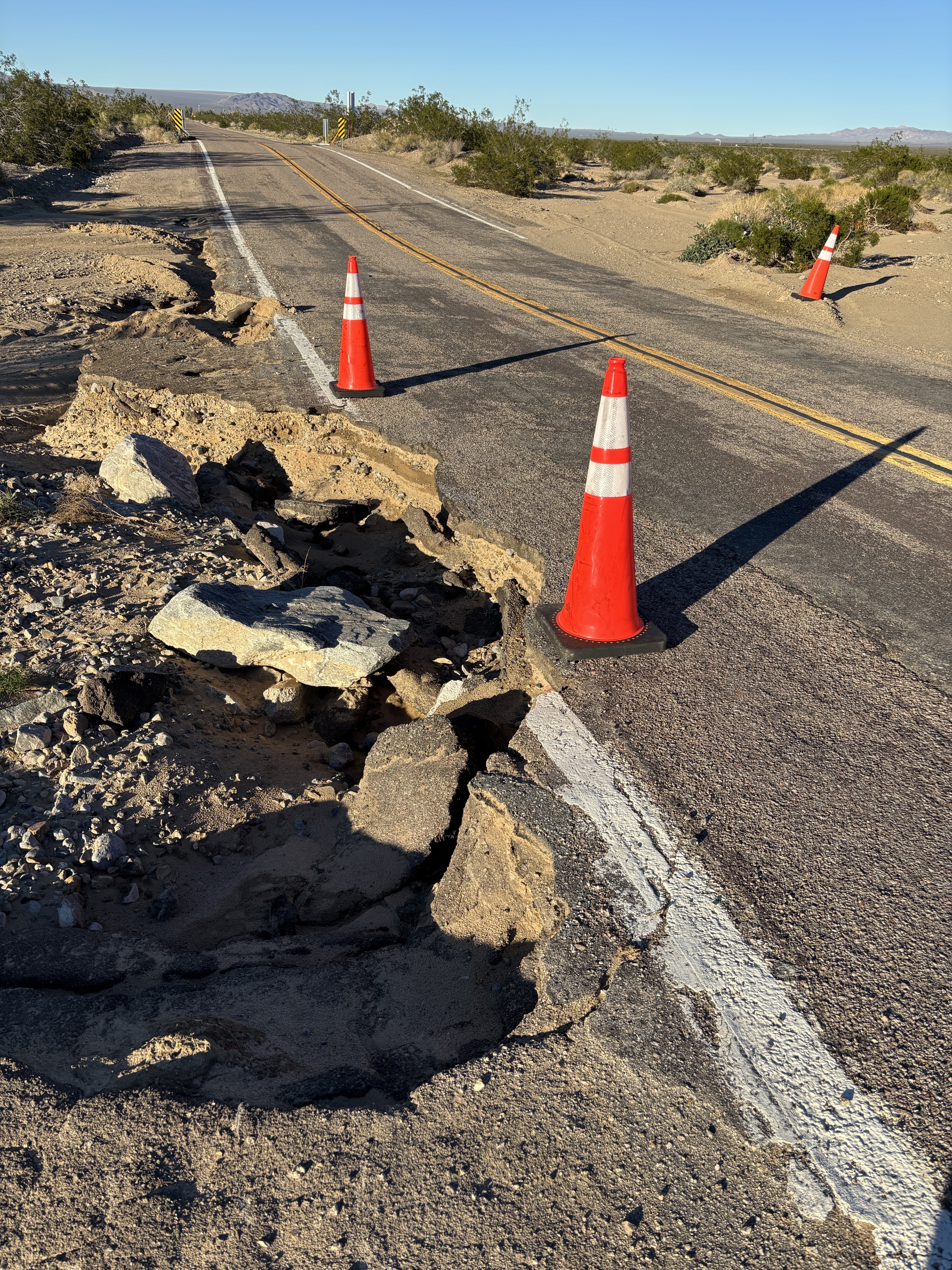
The Park Service and Federal Highway Administration plan to widen shoulders, improve visibility on curves and rebuild drainage that has to carry runoff during desert storms. The federal project plan calls for removing the old asphalt and rebuilding the road base before paving. Flooding has already damaged shoulders along South Kelbaker Road. The park will post dates for later closures on its conditions page as work advances.