A flash flood warning from the National Weather Service in Jacksonville covers southwestern Gilchrist County, including Trenton, until 12:30 a.m. Eastern on Saturday, November 21.
Friday night’s warning

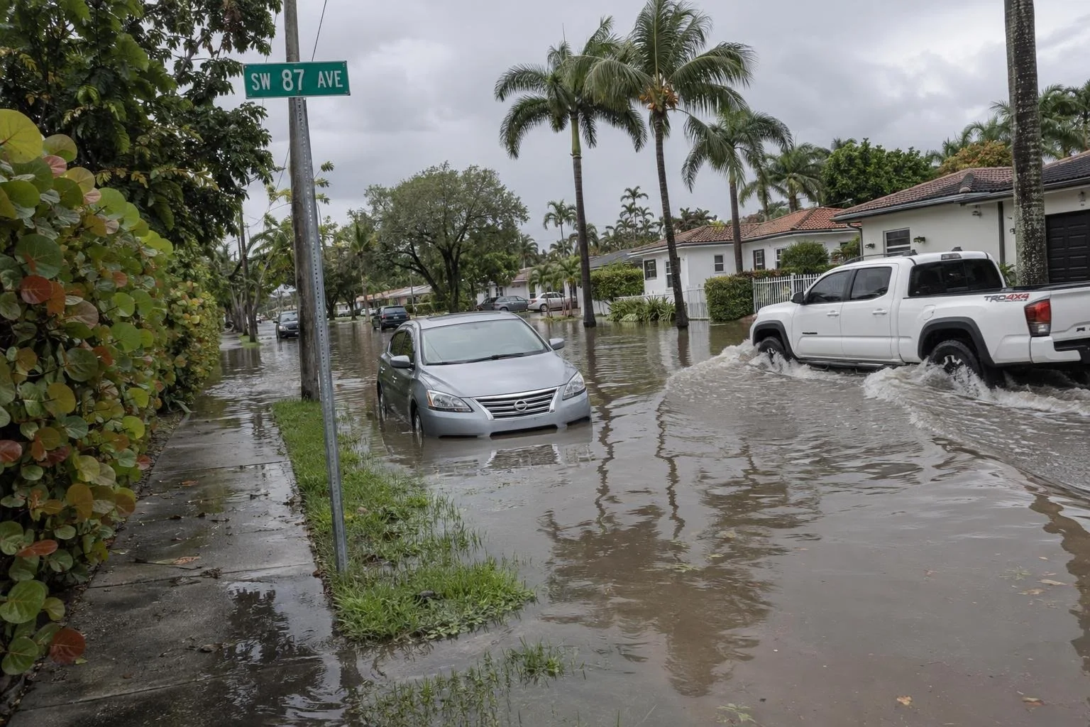
The warning covers small creeks and streams, low-lying areas, highways, streets and underpasses. The NWS urges extra caution at night, when flood dangers are harder to see. Its flash flood warning guidance tells people in flood-prone areas to move immediately to higher ground.
An earlier flood warning, issued at 9:38 p.m. Friday, had run until 11:45 p.m. The new flash flood bulletin does not name specific road closures or announce an evacuation order.
National Weather Service flood-safety guidance says drivers should turn around at flooded roads and never drive around barriers. Water can hide a collapsed road. Just 12 inches of rushing water can carry away most cars, while 2 feet can carry away SUVs and trucks. Six inches of fast-moving water can knock over an adult. The agency says it is unsafe to drive or walk into floodwater.
Gilchrist County Emergency Management provides links to storm updates, emergency orders, current road closures and its Alert Gilchrist notification service. The county's emergency-management page cautions that it is not monitored continuously and directs anyone experiencing an emergency to call 911.