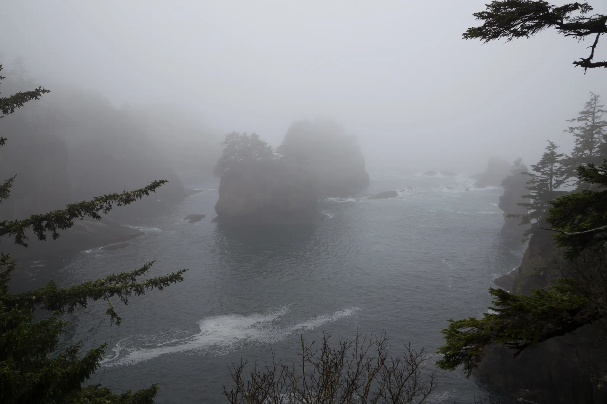
The National Weather Service issued a storm warning for offshore waters along Washington’s outer coast on Saturday. The warning runs from 1 p.m. Saturday, Nov. 14, to 1 a.m. Sunday, Nov. 15, Pacific time. Forecasters expect south winds of 35 to 45 knots, frequent gusts to 50 knots and seas of 18 to 23 feet.
The warning covers waters 10 to 60 nautical miles offshore from Cape Flattery south to Cape Shoalwater. The Seattle office warns that strong winds and hazardous seas can damage or capsize vessels and reduce visibility. It advises mariners to stay in port, alter course or secure their vessels for severe conditions.
Conditions closer to shore
For the same stretch of coast within 10 nautical miles of shore, the weather service issued a storm watch for Saturday afternoon through late Saturday night. Gusts there could also reach 50 knots, with seas of 17 to 22 feet possible. A watch means those conditions are possible, while the offshore warning identifies the zone where forecasters expect them.
Gale warnings run until 10 p.m. Friday in both zones. The weather service then has small craft advisories in effect until 1 p.m. Saturday. That change in the alert type comes before the Saturday storm window, with seas still forecast at 20 to 25 feet offshore during the advisory.
Mariners planning to cross a coastal bar can check the National Weather Service bar cameras and conditions and local Coast Guard reports before departure. The Coast Guard’s District 13 navigation guidance notes that bar reports describe conditions when they were observed. Conditions can change as an outgoing tide meets incoming swells.