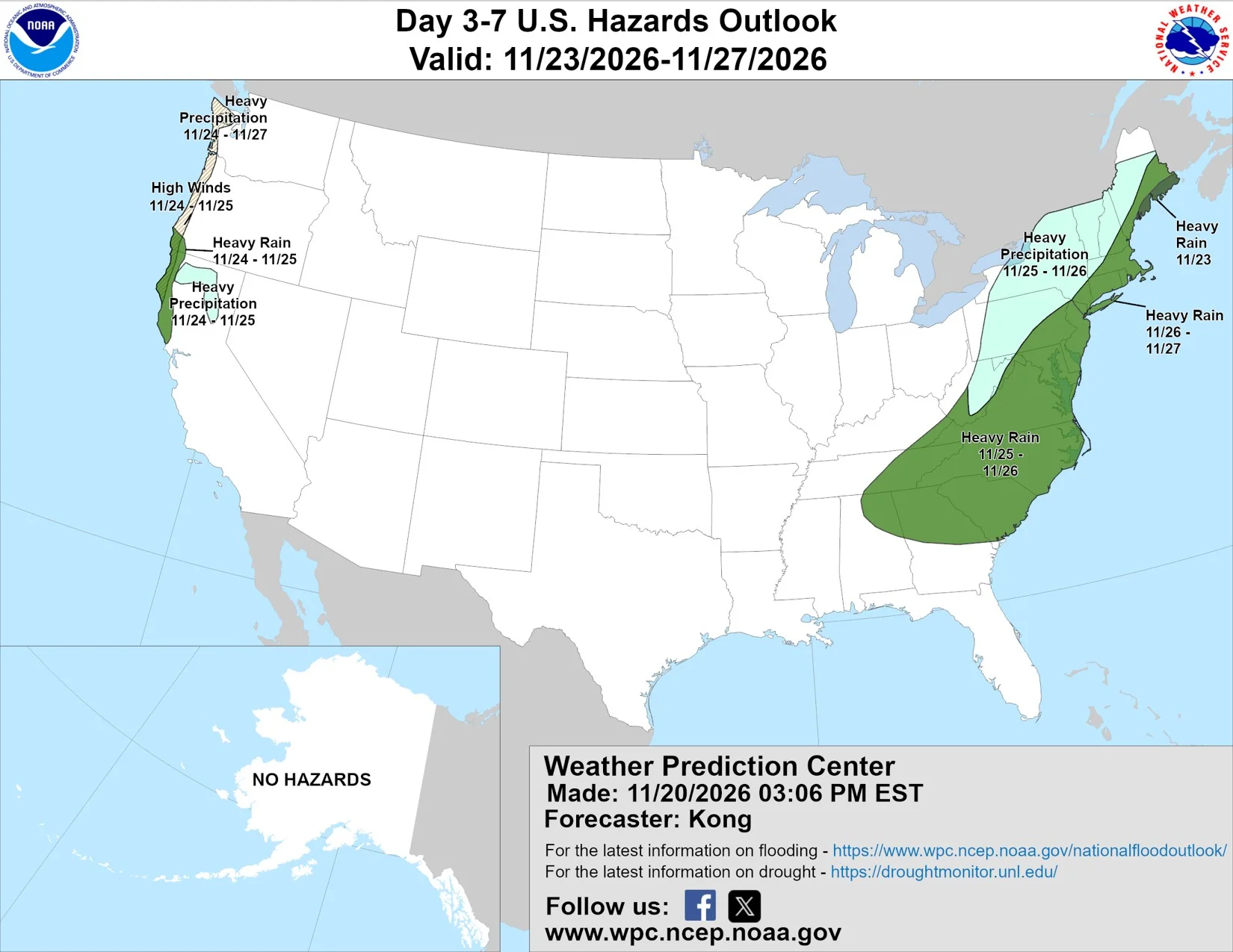
Two storm systems are lining up for Thanksgiving week, one along the Pacific coast and one along the Atlantic, according to the extended forecast discussion the National Weather Service's Weather Prediction Center issued Saturday afternoon. Forecasters wrote that the signals support "well organized holiday period systems" during a very busy travel stretch.
The West Coast faces repeated rounds of rain, wind and unusually high tides from Monday through the holiday. In the East, a low is expected to form near Florida midweek and deepen as it moves up the coast through Thanksgiving and into the weekend.
Coastal flooding along the entire West Coast
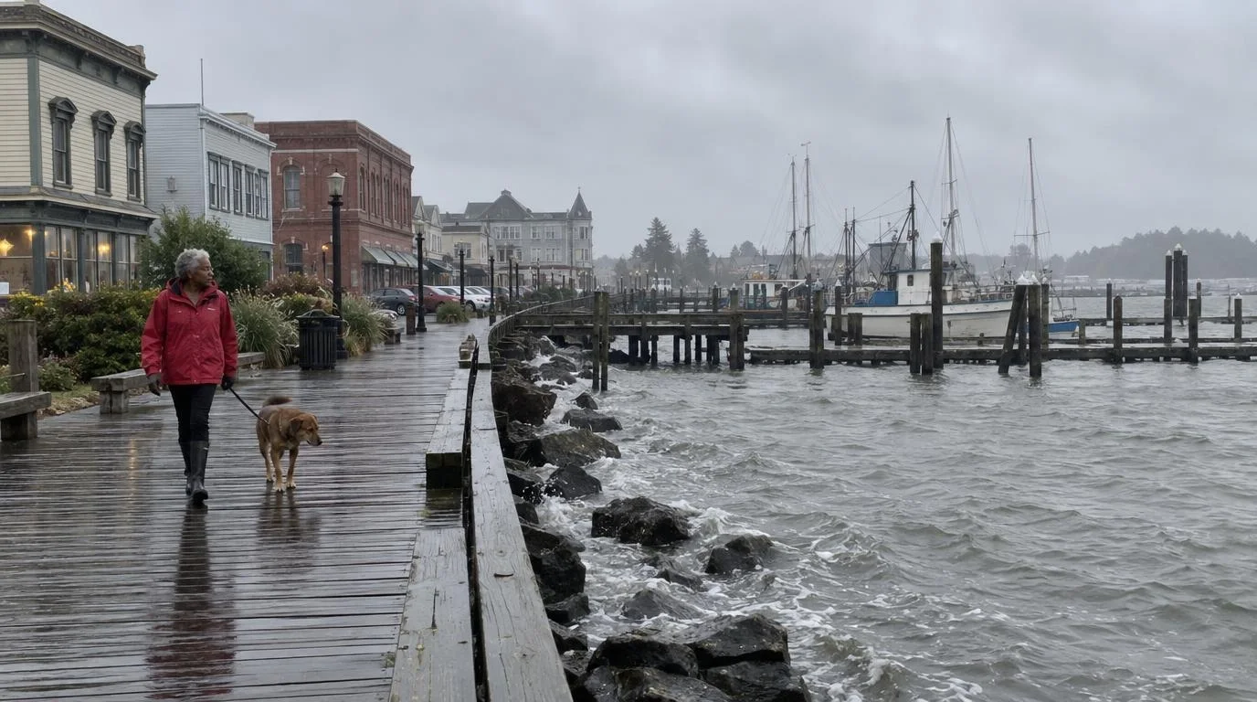
National Weather Service offices from San Diego to the Portland area have posted coastal flood advisories, watches or warnings that run into Thanksgiving week. The most serious threat is on California's north coast.
The Eureka forecast office says the year's highest tides, ocean water running about 1.5 feet above normal because of El Niño, and strong southerly winds with breaking waves of 15 to 20 feet will overlap from Tuesday, Nov. 24, through Thursday, Nov. 26. Forecasters said record coastal flooding is likely at high tide.
At the North Spit gauge on Humboldt Bay, the office says water could reach 11.0 to 11.5 feet if the storm arrives as forecast, enough for moderate to major flooding. The record there is 10.37 feet, set earlier this year. Waves may wash over Highway 1 and Highway 101 in low spots at high tide, and a coastal flood watch covers the whole northwestern California coast from Tuesday morning through Thursday's high tide.
The danger peaks around high tide. On that stretch of coast, that means mid to late morning.
Farther south, the San Francisco office has a coastal flood warning for the bay shoreline from Monday through Thursday afternoon.
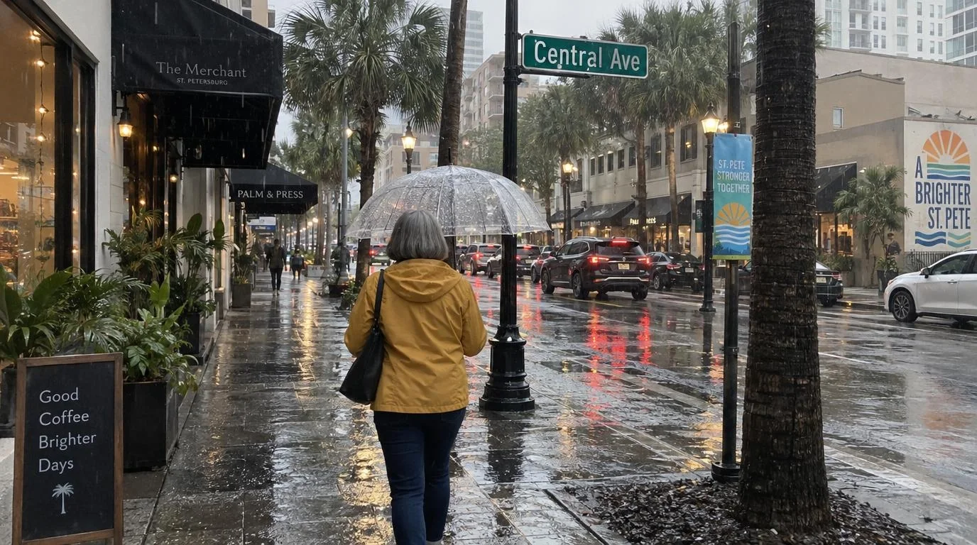
Rain will be the bigger issue inland. The Portland office expects "multiple rounds of rain, mountain snow, and breezy winds" in northwestern Oregon and southwestern Washington through Thanksgiving Day, and the Weather Prediction Center says heavy snow should stay at high elevations because the storms carry so much warm air.
Rain, wind and high tides on the East Coast
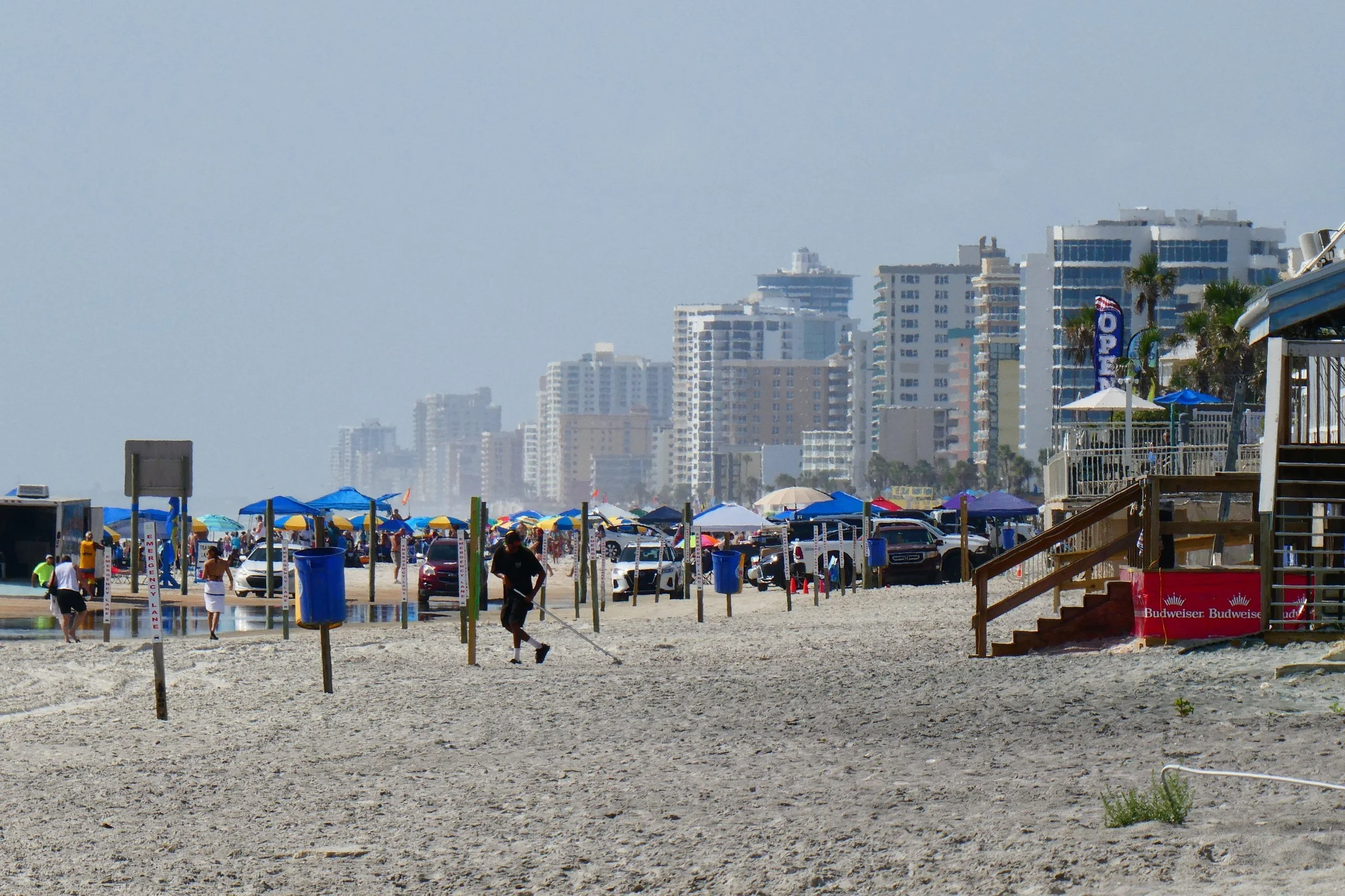
The Weather Prediction Center expects heavier rain to start along coastal Florida and Georgia on Tuesday, then reach the Carolinas on Wednesday, the day before Thanksgiving. Strong winds along the coast could cause beach erosion, rip currents and coastal flooding. Cold air trapped east of the mountains could also bring snow or ice to parts of the Appalachians and the interior Northeast.
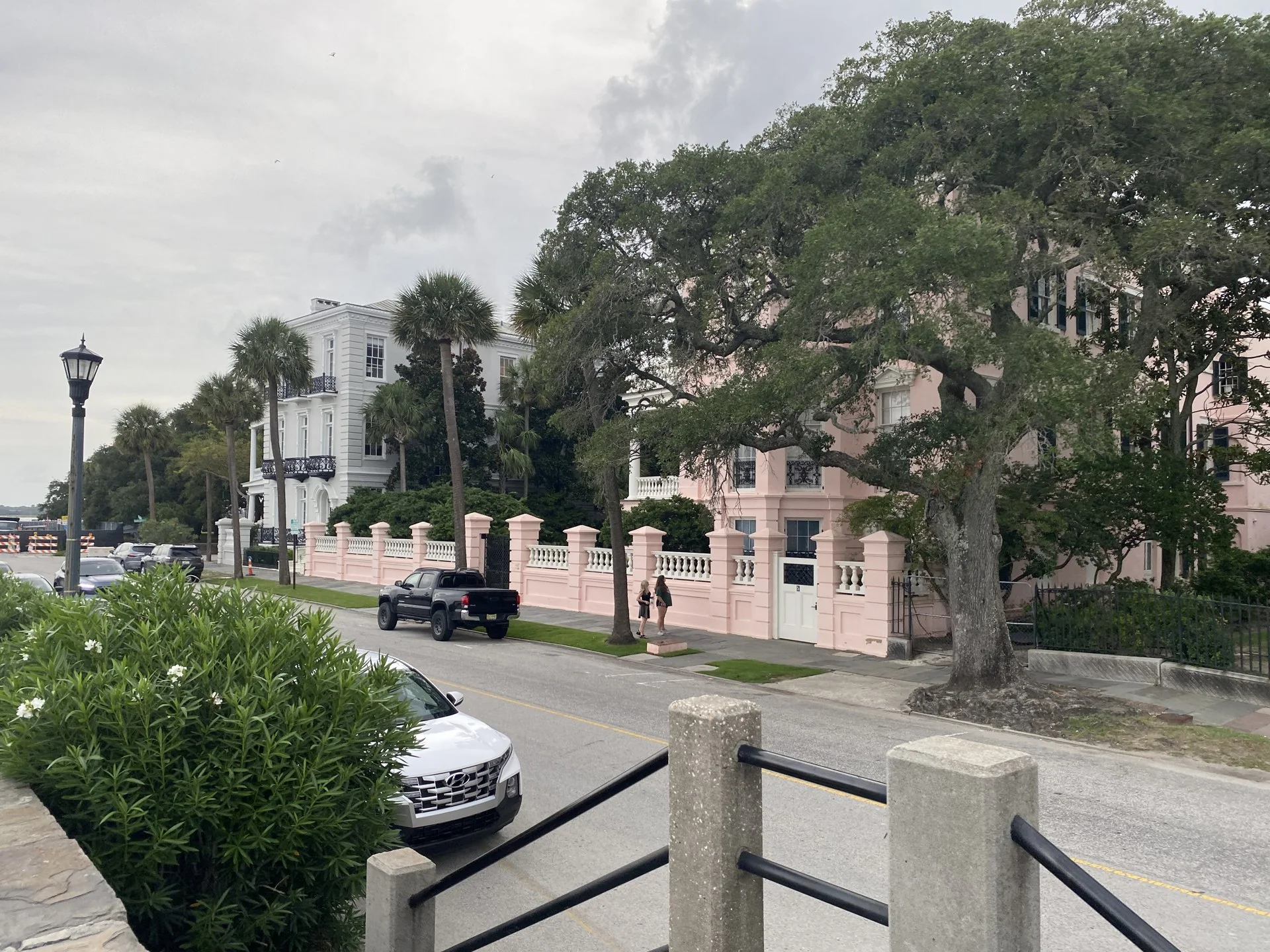
In South Carolina, the Charleston forecast office says Tuesday's full moon and the Moon's closest approach on Wednesday will push the Wednesday morning tide in Charleston Harbor to 6.78 feet. Minor flooding begins at 7 feet, so it will not take much. The office expects northeast winds near or at gale force from Tuesday night through Wednesday night, which would push water levels higher.
Timing could still shift. Forecasters cautioned that computer models differ on the storm's strength and track from midweek on, and recent runs of the U.S. GFS model have swung noticeably from one cycle to the next. The center also flagged frost and freeze concerns in the southern Plains from Tuesday through Thanksgiving as a surge of colder air moves through.
Travelers can check local alerts by entering a ZIP code at weather.gov. Edit USA covered when to drive for Thanksgiving earlier this month.