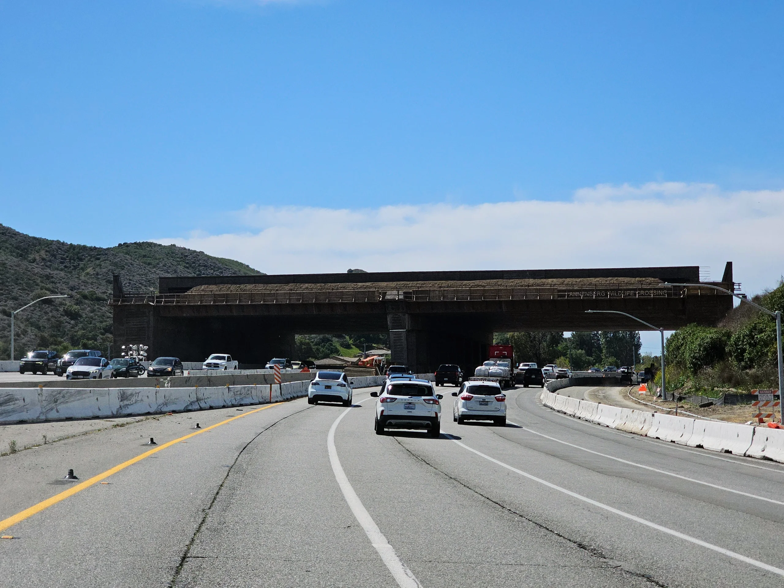
The Wallis Annenberg Wildlife Crossing is scheduled for its formal opening on Dec. 2, providing a route over U.S. 101 and Agoura Road near Los Angeles. The test will continue long after the ceremony: scientists want to know whether animals move between habitats, find mates and rebuild genetic connections that freeways have restricted.
The project links the Santa Monica Mountains with the Simi Hills at Liberty Canyon in Agoura Hills. A new UC Davis report also raises a separate question for California's road projects: how much fencing is needed to keep animals out of traffic?
Why this stretch of freeway matters
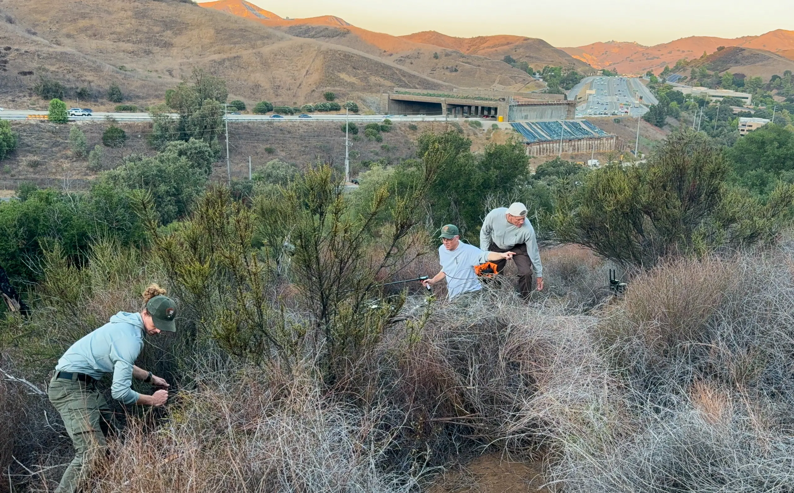
Caltrans describes U.S. 101 as a barrier between the mountains south of the freeway and habitat to the north. Large mammals need connected territory to hunt and breed. Dividing that territory restricts movement and leaves mountain lions with fewer unrelated potential mates.
The National Park Service's mountain lion research, which began in 2002, has documented close-relative breeding and unusually low genetic diversity in the Santa Monica Mountains population. Its GPS collars reveal where individual animals travel and where roads stop them.
A safe route across the freeway could allow animals on either side to disperse. A crossing by one animal, however, cannot establish whether the population's genetic health has improved. That requires evidence over time about the animals and their offspring.
What the cameras can show
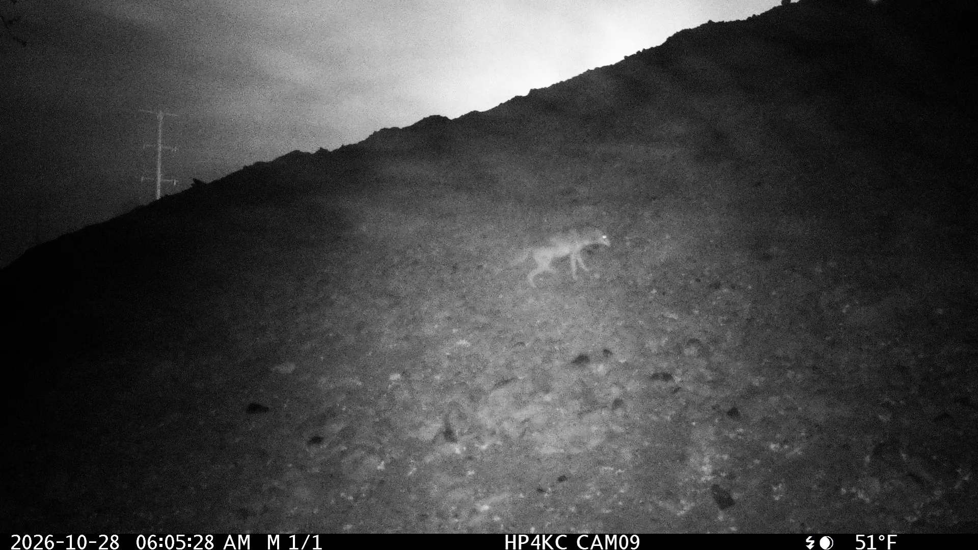
In a Nov. 4 announcement, the park service outlined plans for remote cameras to record which species approach and use the crossing, and when. Scientists had already photographed a coyote climbing the unfinished structure's southern slope on Oct. 28.
That image documents an early visit to the slope. It does not by itself prove a completed journey between the two habitat areas.
The monitoring program has 14 objectives, including changes in genetic diversity, vegetation, light and sound. Earlier GPS tracking, observations of nearby passages and genetic studies of smaller animals provide a baseline for later comparisons.
Changes in the wider ecosystem will take years to assess, the park service says.
Why fencing needs its own test
The UC Davis Road Ecology Center's 2026 analysis, released Nov. 10, argues that crossing structures alone cannot solve road deaths. Animals may still enter traffic elsewhere unless barriers keep them away from dangerous stretches.
The center's technical report estimates that at least 780 mountain lions die annually on California state highways and major paved roads, using data from 2016 through 2024. This is a statistical estimate of annual deaths, not 780 carcasses counted in a single year. It represents about 18% of the statewide population estimate used by the researchers.
Fencing also needs maintenance. Gaps, places where animals can dig underneath and poorly protected ends can weaken the barrier. Its effect can be checked by comparing roadkill before and after installation.
The same report describes a smaller crossing over State Route 97 in Siskiyou County, built with several miles of fencing and escape ramps about every half-mile. Cameras have recorded deer and other species using it. That offers a comparison of design and early use, rather than a prediction of the Los Angeles crossing's eventual results.
A habitat connection across two roads
The project's current FAQ confirms the Dec. 2 opening date and says planting and finishing work will continue afterward. The project includes separate structures over the freeway and Agoura Road, with approaches and restored habitat connecting them.
Its footprint extends beyond the bridge decks. The partners describe roughly 13 acres of work, including the slopes that lead animals toward the crossing. They plan to encourage use through vegetation and exclusionary fencing.
The park service plans to make wildlife images publicly available, with a delay for security rather than a live feed. Those records will let people follow which animals use the connection as the longer scientific evaluation proceeds.