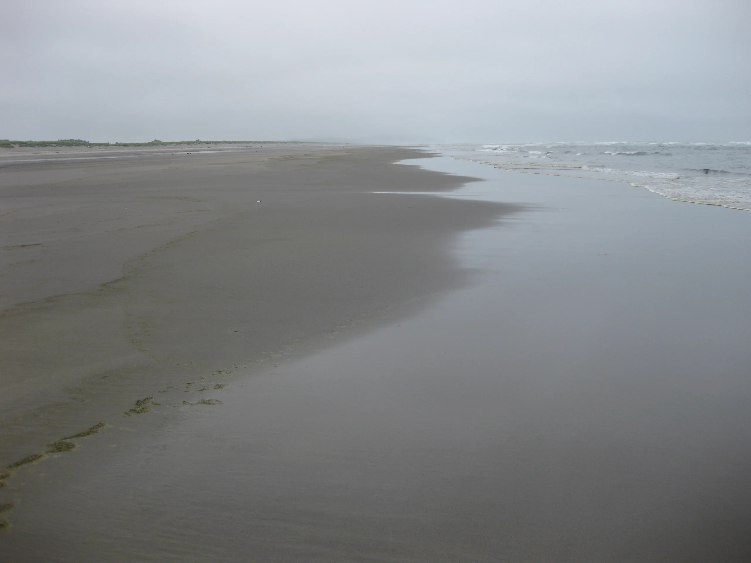
Water could rise 4 to 6 feet above normal high tide in Hooper Bay on Wednesday, the National Weather Service said Monday as it upgraded a flood watch for Alaska's Yukon Delta coast to a warning. The agency said roads may close and access to airstrips may be limited. A separate winter storm warning starts Tuesday night for the coast and the Lower Yukon River.
The coastal flood warning runs from 3 a.m. Wednesday, Nov. 18, to 3 p.m. Thursday, Nov. 19, Alaska time. Along the rest of the Yukon Delta coast, forecasters expect water 2 to 4 feet above normal high tide. Southeast winds could gust to 55 mph.
Forecasters expect two high tides at Hooper Bay on Wednesday, with water slightly higher during the second. Flooding could reach low-lying homes, businesses and some critical infrastructure. The weather service also warned of shoreline erosion. Its alert describes possible road closures and restrictions at airstrips, with local conditions determining what can stay open.
Snow and wind arrive before the flood warning starts

The winter storm warning starts at 9 p.m. Tuesday, Nov. 17, and ends at 3 p.m. Thursday, Alaska time. The area includes Hooper Bay, Scammon Bay, Chevak, Kotlik, Emmonak and communities farther up the Lower Yukon. The weather service forecasts 2 to 5 inches of snow. Blowing snow could cut visibility to less than half a mile at times, with periods of blizzard conditions possible. Rain could mix with snow as warmer air moves in.
Anyone planning to fly should check directly with their carrier before traveling to the airstrip. The weather service advises residents to protect flood-prone property and warns drivers against going around barricades or entering water of unknown depth. It recommends carrying a winter survival kit if travel is necessary and staying with your vehicle if you get stranded in the storm.